What is recorded here
Marked as a small circular embanked enclosure (ext. diam. c. 30m) on the 1840 ed. of the OS 6-inch map and as an irregularly shaped hachured area (ext. diam. c. 40m) on the 1927 ed. Situated in pasture on a SW-facing slope towards the head of a NW-SE valley. Fields in the area have been reclaimed but a rectangular alcove (dims. 22m N-S; 12m E-W), defined by stone-faced field banks (H 1-1.8m) and open at E, is still preserved.
The above description is derived from the published 'Archaeological Inventory of County Waterford' (Dublin: Stationery Office, 1999). In certain instances the entries have been revised and updated in the light of recent research.
Date of upload/revision: 23 December 2008
The monument record does not grant public access. Check the route and ask the landowner before entering private land.
- What survives
- Recorded monument
Places near here
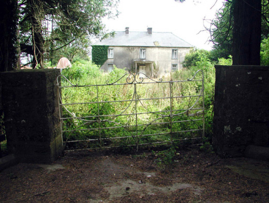 Castlequarter Househouse · 733 yd
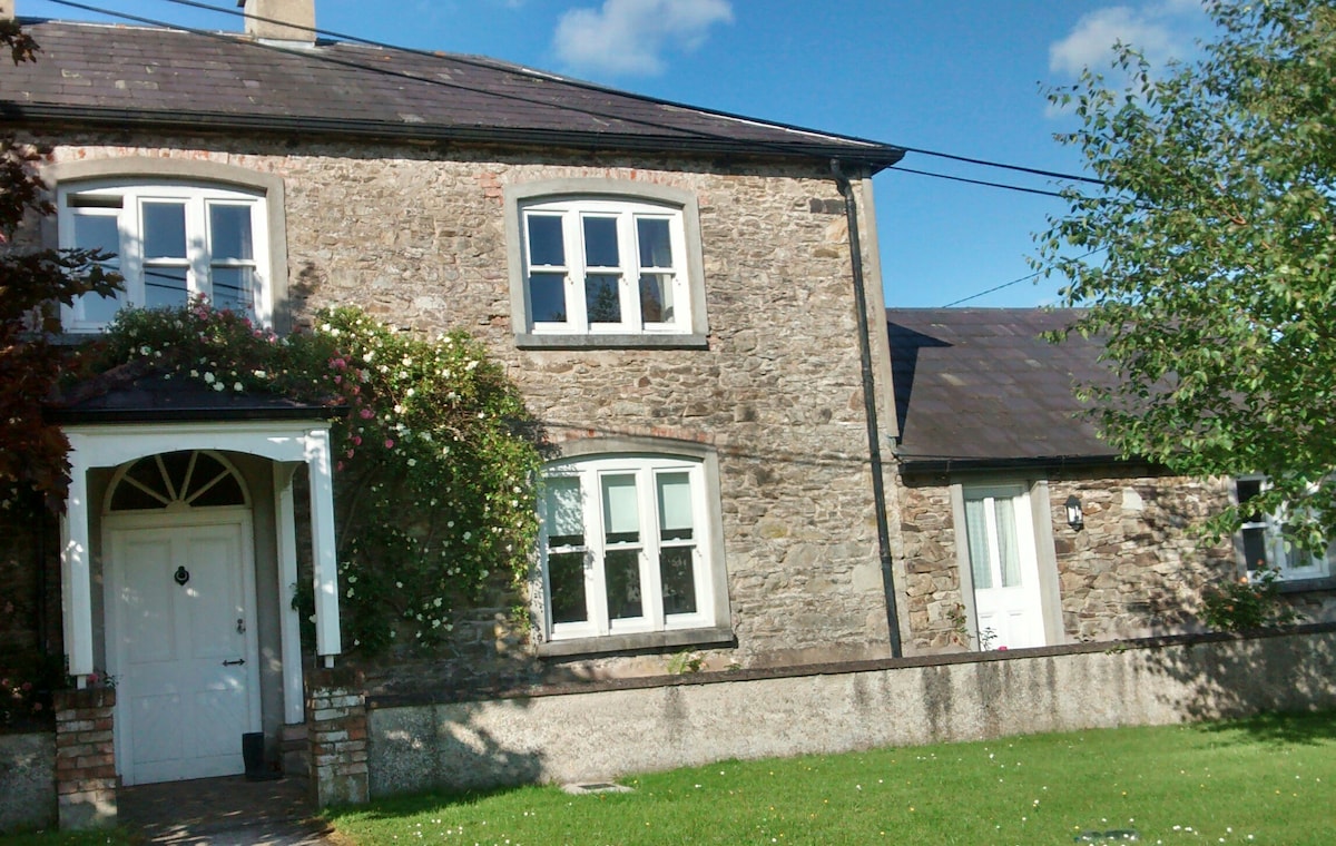 Embanked enclosureFairy fort / ringfort · 1050 yd
 Man-made underground passage in Ballyknock LowerMan-made underground passage · 1108 yd
 Castle (in ruins)Castle, tower house · 1158 yd
 Church in Kilnafrehan EastChurch · 1293 yd
 Deelish MountainMountain / peak · 1.9 mi
 Horse-chestnutHorse-chestnut · 2.0 mi
 CrohaunMountain / peak · 2.0 mi
 Master McGrathMemorial · 2.5 mi
 CastleCastle, motte · 2.9 mi
 Grattan SquareVisitor information · 3.0 mi
 Dungarvan CastleCastle · 3.0 mi