
What is recorded here
Situated within rath (WA031-003001-). This is Z-shaped sunken area (Wth 2.7-3m; D 0.6-0.8m) extending from the bank at S to the centre of the rath (L of sections from S: 3.5m; 4.55m; 4.2m; 5m). No structural stones are evident.
The above description is derived from the published 'Archaeological Inventory of County Waterford' (Dublin: Stationery Office, 1999). In certain instances the entries have been revised and updated in the light of recent research.
Compiled by: Michael Moore. Date of upload: 25th August, 2011.
The monument record does not grant public access. Check the route and ask the landowner before entering private land.
- What survives
- Recorded monument
Places near here
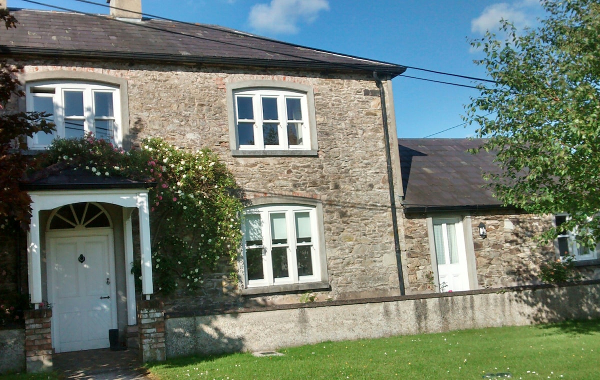 Embanked enclosureFairy fort / ringfort · 106 yd
 Toberaphoona or TobergobnetHoly well · 780 yd
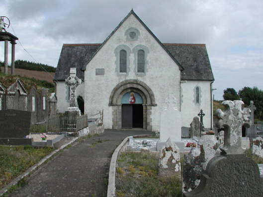 Saint Gobnait's Catholic Churchchurch/chapel · 873 yd
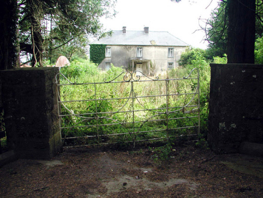 Castlequarter Househouse · 904 yd
 Castle (in ruins)Castle, tower house · 1074 yd
 Master McGrathMemorial · 1.9 mi
 Horse-chestnutHorse-chestnut · 2.1 mi
 CastleCastle, motte · 2.5 mi
 Grattan SquareVisitor information · 2.6 mi
 Dungarvan CastleCastle · 2.7 mi
 Waterford County MuseumMuseum · 2.7 mi
 Dungarvan World War I MemorialMemorial · 2.7 mi
Other information
Photo: Credit not shown in the picture search · Rights wording not checked; contact us if this picture should be removed