
What is recorded here
Situated in a quarry (dims. c. 11m x c. 7m; D 1.5m) on a severe S-facing slope, and c. 110m NE of the parish church of Kilgobnet (WA030-001001-). A single lintel is visible in the edge of the quarry, but the area is dry and filled with silt. A pattern was held at the well on February 11th (Power 1937, 187). The well chamber extends into the hillslope and may be a Man-made underground passage.
Power, Rev. P. (1937) Waterford and Lismore; a compendious history of the united dioceses. Cork University Press.
Compiled by: Michael Moore. Date of upload: 25th August, 2011.
Linked to St Gobnet, an early Irish saint associated with the parish of Kilgobnet, the well was traditionally visited for its healing properties, particularly for skin ailments and general well-being. The name "Tobergobnet" reflects its dedication to the saint, though the site is now dry and largely reduced to a quarry with minimal surviving ecclesiastical features.
The monument record does not grant public access. Check the route and ask the landowner before entering private land.
- What survives
- Recorded monument
Places near here
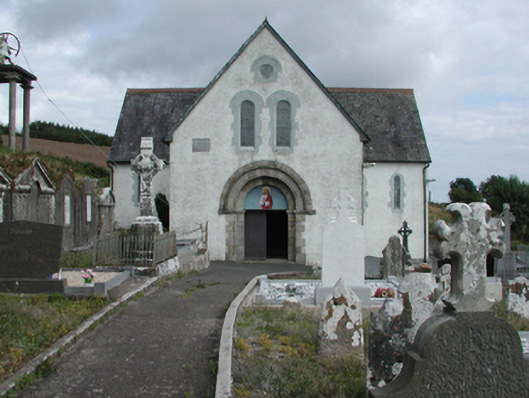 Saint Gobnait's Catholic Churchchurch/chapel · 96 yd
 Font in KilgobnetFont · 120 yd
 farm housefarm house · 283 yd
 Man-made underground passage in Ballyknock LowerMan-made underground passage · 780 yd
 Castle (in ruins)Castle, tower house · 1503 yd
 Master McGrathMemorial · 1.5 mi
 CastleCastle, motte · 2.2 mi
 Horse-chestnutHorse-chestnut · 2.3 mi
 Grattan SquareVisitor information · 2.4 mi
 Waterford County MuseumMuseum · 2.5 mi
 Dungarvan CastleCastle · 2.5 mi
 Dungarvan World War I MemorialMemorial · 2.5 mi
Other information
Photo: Credit not shown in the picture search · Rights wording not checked; contact us if this picture should be removed