
What is recorded here
Situated on the N bank of a small W-E stream in pasture. There is local tradition of a church at Kilnafrehan (Power 1952, 145). The location of the site is still known, but nothing is visible at ground level.
Power, Rev. P. (1952) The placenames of the Decies. (second ed.) Cork University Press.
The above description is derived from the published 'Archaeological Inventory of County Waterford' (Dublin: Stationery Office, 1999). In certain instances the entries have been revised and updated in the light of recent research.
Compiled by: Michael Moore. Date of upload: 25th August, 2011.
The monument record does not grant public access. Check the route and ask the landowner before entering private land.
- What survives
- Recorded monument
Places near here
 Man-made underground passage in Kilnafrehan EastMan-made underground passage · 89 yd
 Embanked enclosureFairy fort / ringfort · 753 yd
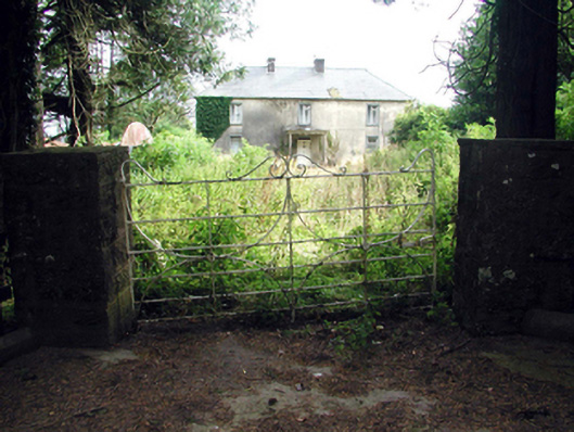 Castlequarter Househouse · 1453 yd
 Castle (in ruins)Castle, tower house · 1657 yd
 Deelish MountainMountain / peak · 1.2 mi
 Penitential station in Gorteen (decies Without Drum By.)Penitential station · 1.5 mi
 Horse-chestnutHorse-chestnut · 1.5 mi
 CrohaunMountain / peak · 1.6 mi
 Cloncoskoran Castle (in ruins)Castle, tower house · 2.4 mi
 Grattan SquareVisitor information · 3.1 mi
 Dungarvan CastleCastle · 3.1 mi
 Dungarvan World War I MemorialMemorial · 3.1 mi
Other information
Photo: Credit not shown in the picture search · Rights wording not checked; contact us if this picture should be removed