What is recorded here
Ballyhankeen held a cluster of settlements where human hands shaped the land long before modern records. The exact layout and purpose remain unrecorded, but the name suggests people lived there repeatedly rather than passing through once. Perhaps children ran between houses, adults worked the soil, and strangers marked the place only later. What is certain is that Ballyhankeen was not empty when it mattered; it was occupied, used and remembered in the shape of the land.
The Archaeological Survey of Ireland (ASI) is in the process of providing information on all monuments on The Historic Environment Viewer (HEV). Currently the information for this record has not been uploaded. To access available information for research purposes please make an appointment in advance with the Archive Unit (open Fridays 10.00 am – 5.00 pm), Department of Housing, Local Government and Heritage, The Custom House, Dublin 1 D01W6XO or email NMarchive@housing.gov.ie.
The monument record does not grant public access. Check the route and ask the landowner before entering private land.
- What survives
- Recorded monument
Places near here
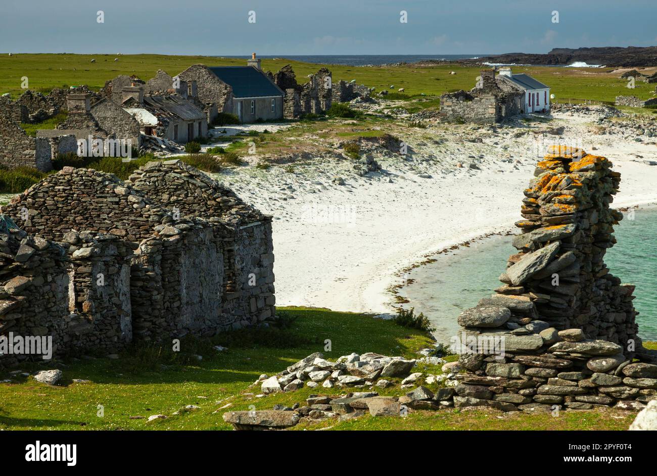 IndicatedEnclosure · 887 yd
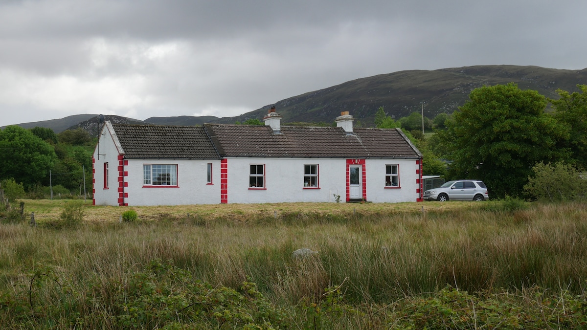 LisnacoolabaunArchaeological place · 1660 yd
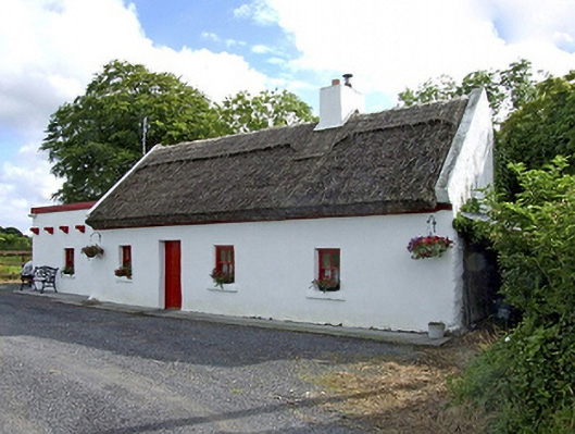 Beech Tree Cottagehouse · 1.3 mi
 The Heathfarm house · 1.5 mi
 Castle (in ruins)Castle, unclassified · 2.1 mi
 Geoffrey's WoodForest · 2.5 mi
 CastlemagarretCastle · 2.6 mi
 Oak WoodForest · 3.2 mi
 Land of the GiantsHeritage attraction · 4.3 mi
 Mass RockNamed rock · 9.6 mi
 Gibbs IslandsIslet · 12 mi
 Enclosure in ShantallowEnclosure · 1.1 mi