
What is recorded here
In a flat field of poorly drained pasture. Not shown on the 1939 and 1930 OS 6-inch maps. A circular hachured enclosure (diam. 25-30m) is shown on the OS 25-inch plan, and is recorded as a circular cropmark (diam. c. 25m) in an aerial photograph (SMR file: GSI M 26- 7; Roll 205, pr. 4). At ground level a cropmark (max. dim. c. 40m) of slightly yellower grass is evident, defining an area that is softer and wetter underfoot.
Compiled by: Jane O'Shaughnessy
Date of upload: 21 December 2022
A local fairy fort (ringfort/rath); wider significance not recorded.
The monument record does not grant public access. Check the route and ask the landowner before entering private land.
- What survives
- Recorded monument
Places near here
 IndicatedEnclosure · 331 yd
 Enclosure in BushfieldEnclosure · 1458 yd
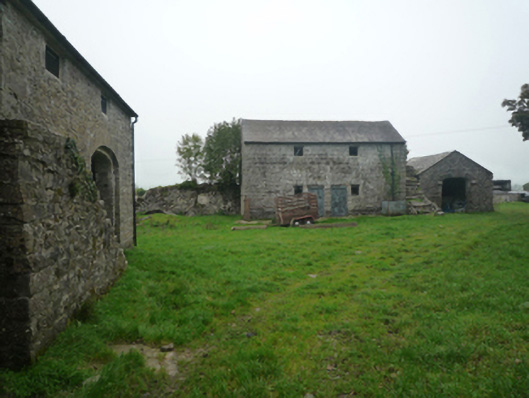 Bushfieldfarmyard complex · 1538 yd
 Chapel (ruin)Church · 1686 yd
 Castle (in ruins)Castle, unclassified · 2.1 mi
 Castle (ruin)Castle, unclassified · 2.4 mi
 Geoffrey's WoodForest · 3.5 mi
 Oak WoodForest · 4.3 mi
 Land of the GiantsHeritage attraction · 5.2 mi
 Mass RockNamed rock · 9.6 mi
 Gibbs IslandsIslet · 11 mi
 Red Island RockIslet · 12 mi
Other information
Photo: Credit not shown in the picture search · Rights wording not checked; contact us if this picture should be removed