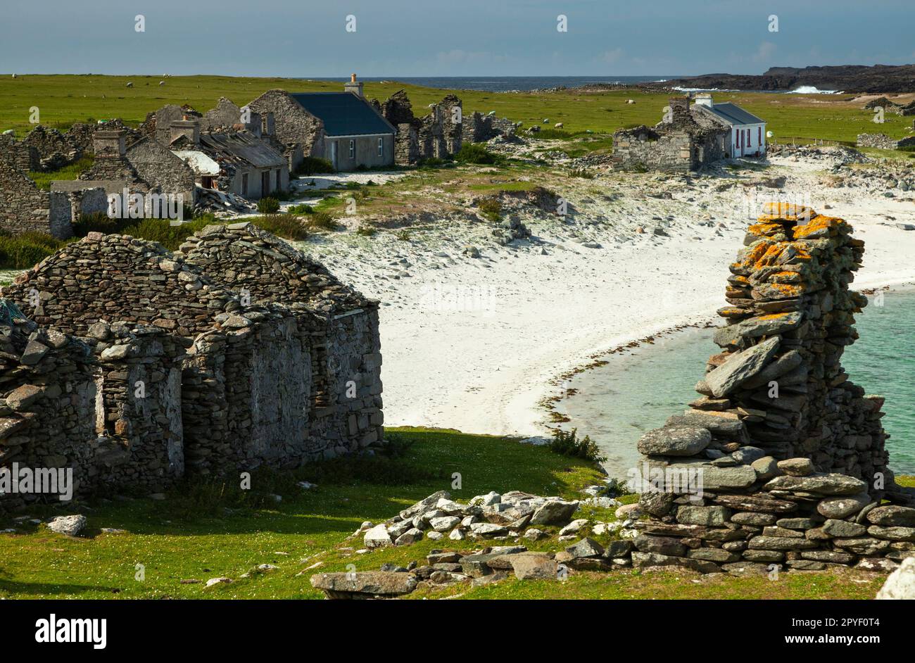
What is recorded here
Located adjacent to the townland boundary, in a neglected garden field adjacent to a derelict cottage.
A small circular enclosure is shown on the 1838 OS 6-inch map; a hachured enclosure (diam. c. 12-15m) is shown on the 25-inch plan; it is not shown on the 1930 OS 6-inch edition. A slight grass-covered rise/undulation (Wth c. 2-3m) curving in a shallow arc W–N in the N side of the field, backing onto the wall bordering the road may be a remnant of the enclosure.
Compiled by: Jane O'Shaughnessy
Date of upload: 21 December 2022
A small early-medieval ringfort, likely dating to between the 6th and 10th centuries, indicated by a hachured circular enclosure on 19th-century maps. No specific folklore or historical events are recorded in association with the site.
The monument record does not grant public access. Check the route and ask the landowner before entering private land.
- What survives
- Recorded monument
Places near here
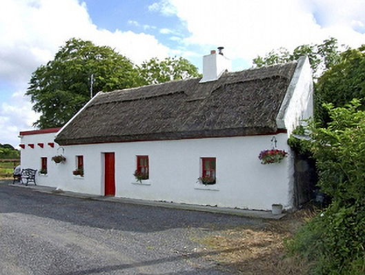 Beech Tree Cottagehouse · 1453 yd
 LisnacoolabaunArchaeological place · 1632 yd
 The Heathfarm house · 1.0 mi
 Enclosure in ShantallowEnclosure · 1.5 mi
 Castle (in ruins)Castle, unclassified · 1.8 mi
 Geoffrey's WoodForest · 2.4 mi
 Bawn in Castlemagarretpark OldBawn · 2.5 mi
 Oak WoodForest · 3.0 mi
 Land of the GiantsHeritage attraction · 4.4 mi
 Mass RockNamed rock · 9.3 mi
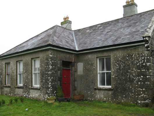 Ballyglass Housefarm house · 1.3 mi
 Enclosure in CoolconEnclosure · 1.7 mi
Other information
Photo: Credit not shown in the picture search · Rights wording not checked; contact us if this picture should be removed