What is recorded here
In tillage, on a gentle SSW-facing slope. No visible surface trace of monument. Large patches of ground at this location where no crop is growing may indicate levelled area of monument. Depicted on latest edition OS 6-inch map as curvilinear feature defined by multiple enclosing elements ESE-S-WNW. Monument noted as being levelled in 1982 (Cahill). According to local information, remains of a church may be associated with this enclosure and field is known as 'church field'.
Compiled by: Jean Farrelly
Date of upload: 26 August 2011
The monument record does not grant public access. Check the route and ask the landowner before entering private land.
- What survives
- Recorded monument
Places near here
 Grove WoodForest · 677 yd
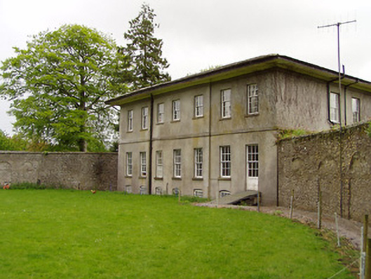 Lakefield Housewalled garden · 704 yd
 Lakefieldcountry house · 706 yd
 Enclosure in GroveEnclosure · 857 yd
 Pedunculate OakPedunculate Oak · 1128 yd
 Enclosure in SladaghEnclosure · 1176 yd
 (Site of) Killerk CastleCastle, unclassified · 1.2 mi
 Edmond's CastleCastle · 1.5 mi
 East GateMemorial · 1.5 mi
 Kilknockan HillMountain / peak · 2.6 mi
 CarrigdotiaMountain / peak · 3.6 mi
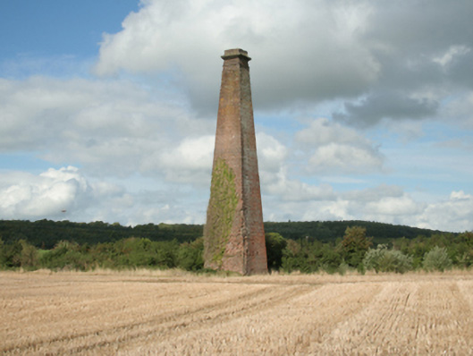 Kiltinan Brick Workschimney · 953 yd