What is recorded here
A 'barrow' levelled here in 1854 is said to have contained an 'urn and kistvaen' (Kinahan 1889, 286). The site today consists of a flat-topped rise, approximately circular, c. 22m across. It is c. 1m high. A slab 1.51m × 1.05m on top is thought to be part of the 'kistvaen'.
The above description was derived from the 'Archaeological Survey of County Donegal. A description of the field antiquities of the County from the Mesolithic Period to the 17th century.' Compiled by: Brian Lacey with Eamon Cody, Claire Cotter, Judy Cuppage, Noel Dunne, Vincent Hurley, Celie O'Rahilly, Paul Walsh and Seán Ó Nualláin (Lifford: Donegal County Council, 1983). In certain instances the entries have been revised and updated.
Date of upload: 22 September 2008
A Bronze Age barrow, likely a bell barrow, dating to the early first millennium BCE; its significance lies in the presence of an urn and kistvaen, indicating funerary practices associated with the period.
The monument record does not grant public access. Check the route and ask the landowner before entering private land.
- What survives
- Recorded monument
Places near here
 Ballyarr Nature ReserveNational nature reserve · 827 yd
 Ballyarr Stone RingfortFairy fort / stone ringfort · 888 yd
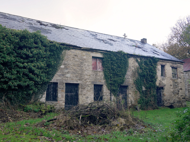 Claragh Housefarmyard complex · 1100 yd
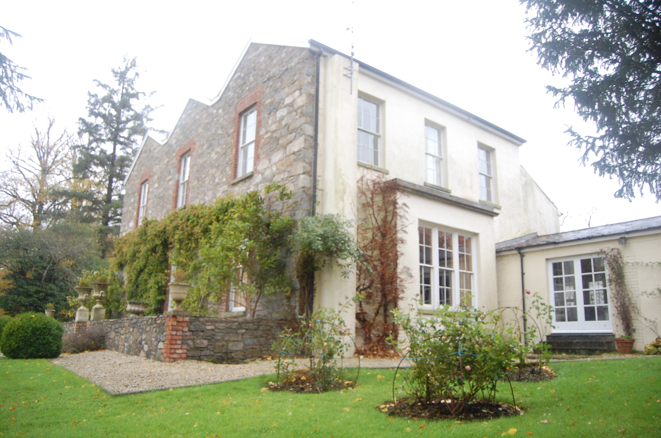 Ballyarr Househouse · 1188 yd
 Gortnavern Double Stone RingfortFairy fort / stone ringfort · 1.3 mi
 Drummonaghan WoodForest recreation place · 1.7 mi
 Tullyaughnish Old Church GraveyardGraveyard · 2.4 mi
 Bawn in RathmeltonBawn · 2.5 mi
 Castle (Site of)Castle, unclassified · 2.9 mi
 Donegal County MuseumMuseum · 5.0 mi
 Loughsalt MountainMountain / peak · 5.5 mi
 Gregory HillMountain / peak · 6.5 mi