What is recorded here
Indicated was a fairy fort atop a western ridge in County Cork, commanding a wide view until men levelled it around 1968 to build a piggery. The hogs probably rooted through soil that once held human fire, breaking the quiet boundary between the visible world and the hidden one. Forgetting the fortress is easier than remembering the violence done to it, yet the ridge still holds the shape of what was erased.
In pasture, atop E-W ridge commanding extensive view, NE of similar site (CO136-086---). Levelled c. 1968; piggery built on site.
The above description is derived from the published 'Archaeological Inventory of County Cork. Volume 1: West Cork' (Dublin: Stationery Office, 1992). In certain instances the entries have been revised and updated in the light of recent research.
Date of upload/revision: 14 January 2009
The monument record does not grant public access. Check the route and ask the landowner before entering private land.
- What survives
- Recorded monument
Places near here
 Sea Courtcountry house · 397 yd
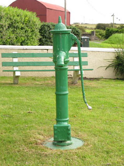 water pumpwater pump · 402 yd
 BarrowBarrow, ring-barrow · 1018 yd
 Kill Bur. Gd. (Children) (Disused)Burial ground · 1.0 mi
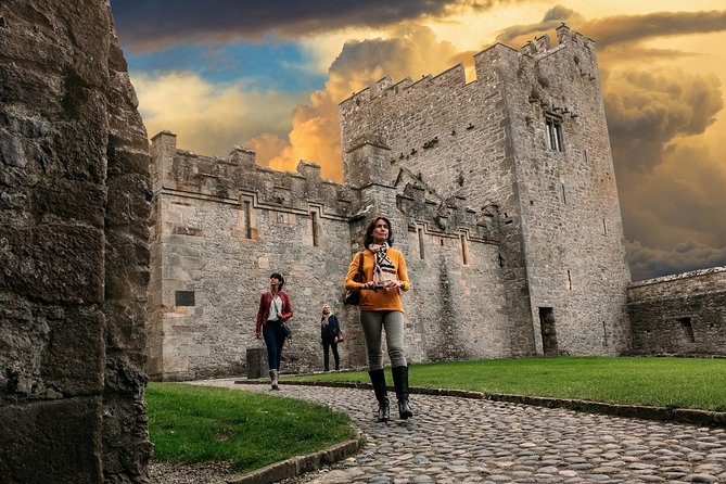 Rock Castle (in Ruins)Castle, tower house · 1.3 mi
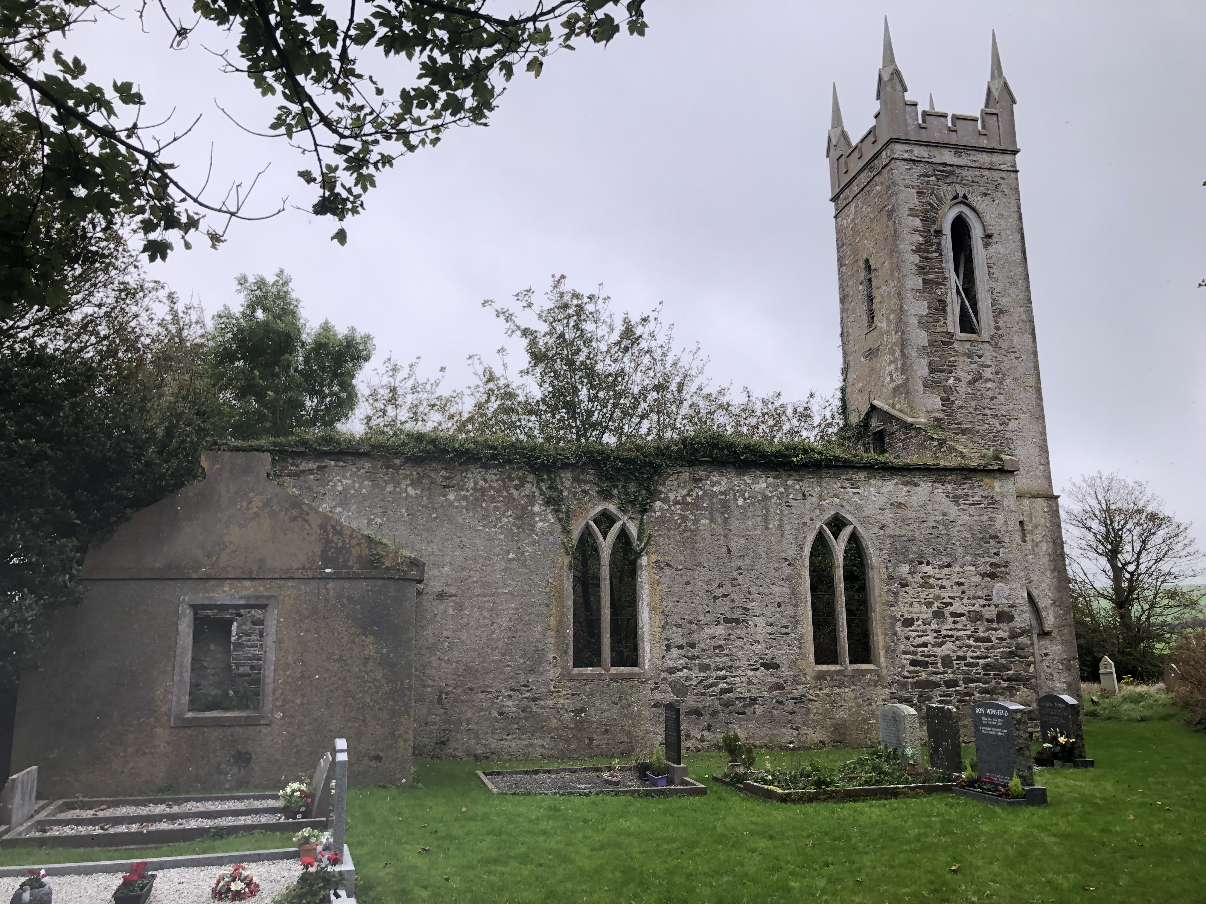 Lislee Court (Site of)Castle, unclassified · 1.4 mi
 Cave DunworleyViewpoint · 1.4 mi
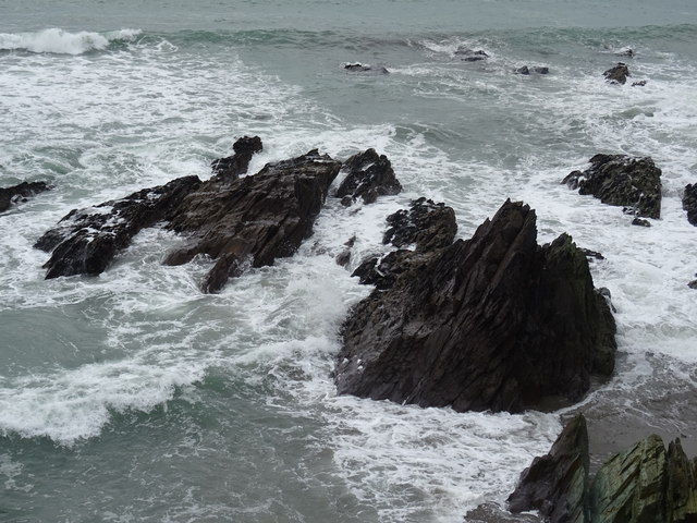 Dunworly BeachBeach / strand · 1.5 mi
 Courtmacsherry Bay ViewViewpoint · 1.6 mi
 War MemorialMemorial · 1.7 mi
 HDS walk Coolim CliffsHeritage attraction · 1.8 mi
 Blind StrandBeach / strand · 1.9 mi