
What is recorded here
In tillage on break in S-facing slope. Circular area (10m N-S; 9.8m E-W) enclosed by fosse (D 0.7m) with low external bank (H 0.4m). Bank levelled for a distance of 1.2m and fosse partially filled-in at NW. Causeway at E. Interior level.
The above description is derived from the published 'Archaeological Inventory of County Cork. Volume 1: West Cork' (Dublin: Stationery Office, 1992). In certain instances the entries have been revised and updated in the light of recent research.
Date of upload/revision: 14 January 2009
Ring-barrow, likely dating to the Early Bronze Age. Its construction and surrounding fosse indicate a significant funerary monument, typical of burial practices in this period.
The monument record does not grant public access. Check the route and ask the landowner before entering private land.
- What survives
- Recorded monument
Places near here
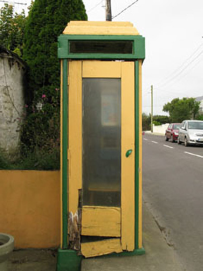 telephone boxtelephone box · 574 yd
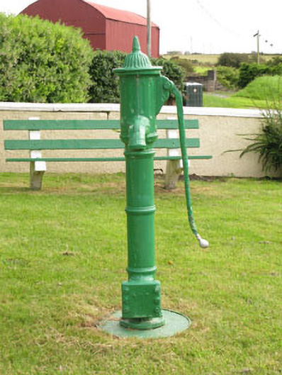 water pumpwater pump · 620 yd
 Hut site in KnockanemeeleenHut site · 1261 yd
 Kill Burial Gd for ChildrenBurial ground · 1339 yd
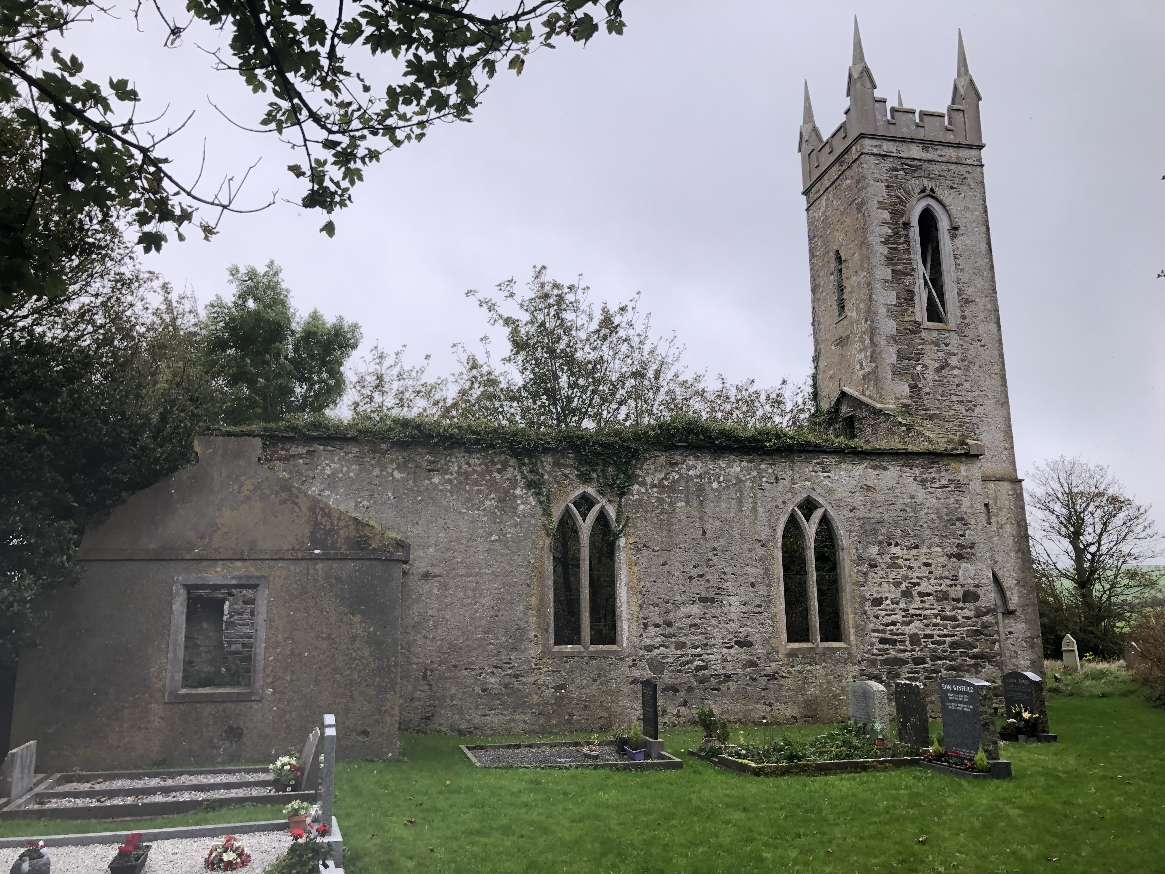 Lislee Court (Site of)Castle, unclassified · 1.1 mi
 HDS walk Coolim CliffsHeritage attraction · 1.3 mi
 Blind StrandBeach / strand · 1.5 mi
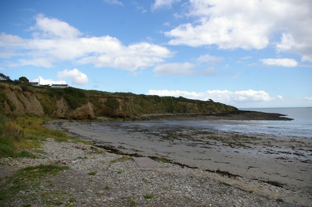 Broad StrandBeach / strand · 1.6 mi
 Courtmacsherry Bay ViewViewpoint · 1.7 mi
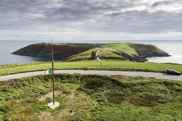 Signal Tower ViewViewpoint · 1.7 mi
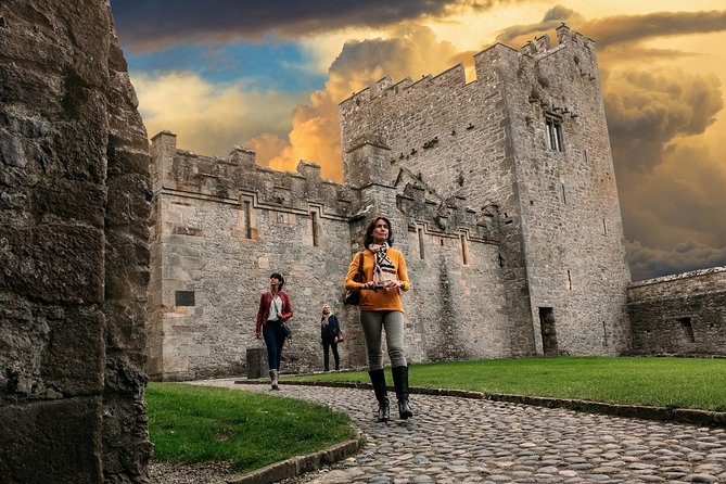 Rock Castle (in Ruins)Castle, tower house · 1.8 mi
 War MemorialMemorial · 1.9 mi
Other information
Photo: Credit not shown in the picture search · Rights wording not checked; contact us if this picture should be removed