
What is recorded here
Marked 'Kill Burial Gd. for Children' on OS 6-inch map (1842). In pasture. Rectangular area (14.4m N-S; 13.6m E-W) defined by scarp to N, E and S (H 0.7m); stone wall (H 0.5m) to W. Low mound (L 2m; Wth 1.5m; H 0.2m) to N in interior; some surface undulations may mark burials.
The above description is derived from the published 'Archaeological Inventory of County Cork. Volume 1: West Cork' (Dublin: Stationery Office, 1992). In certain instances the entries have been revised and updated in the light of recent research.
Date of upload/revision: 14 January 2009
Neolithic rectangular passage tomb, c. 3500–2500 BCE. Its layout and orientation suggest ritual significance related to early agrarian communities in the region.
The monument record does not grant public access. Check the route and ask the landowner before entering private land.
- What survives
- Recorded monument
Places near here
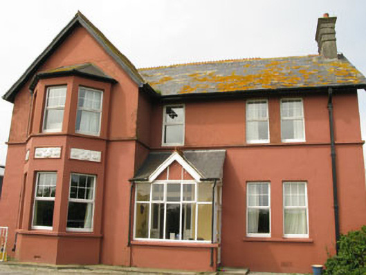 Lislevane Househouse · 390 yd
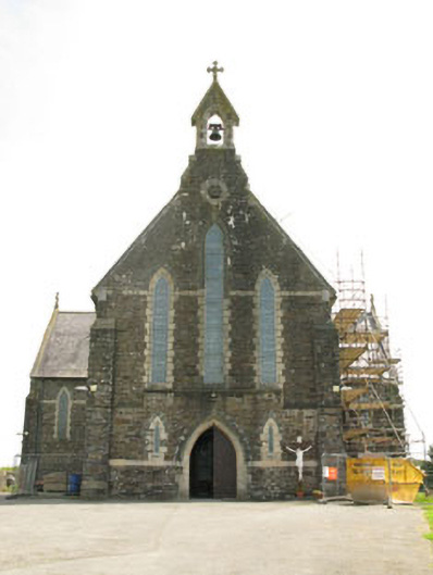 St Mary's Roman Catholic Churchchurch/chapel · 490 yd
 CaveMan-made underground passage · 1378 yd
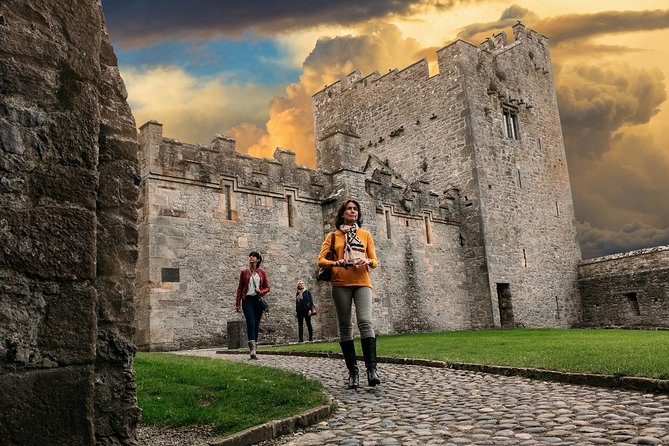 Rock Castle (in Ruins)Castle, tower house · 1.1 mi
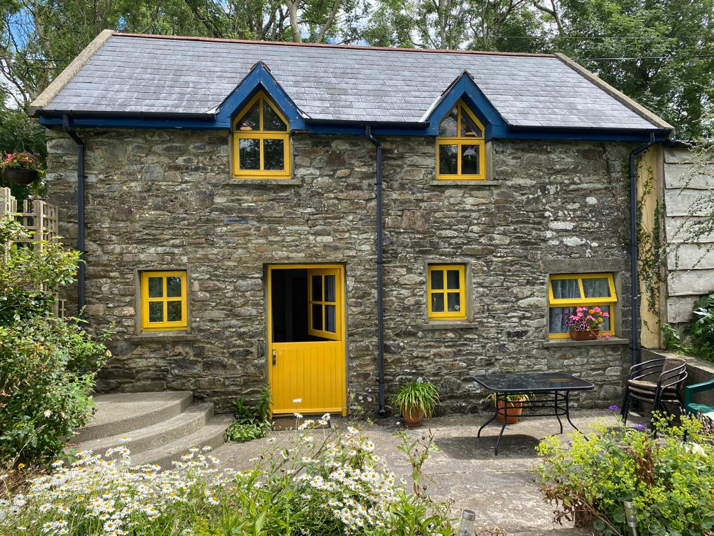 Enclosure in BallyhigeenEnclosure · 1.3 mi
 War MemorialMemorial · 1.4 mi
 Timoleague ViewViewpoint · 1.4 mi
 Courtmacsherry Bay ViewViewpoint · 1.4 mi
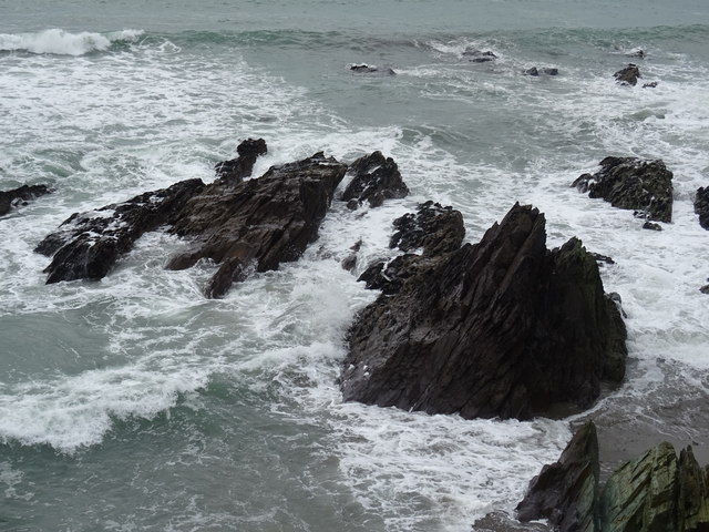 Dunworly BeachBeach / strand · 1.8 mi
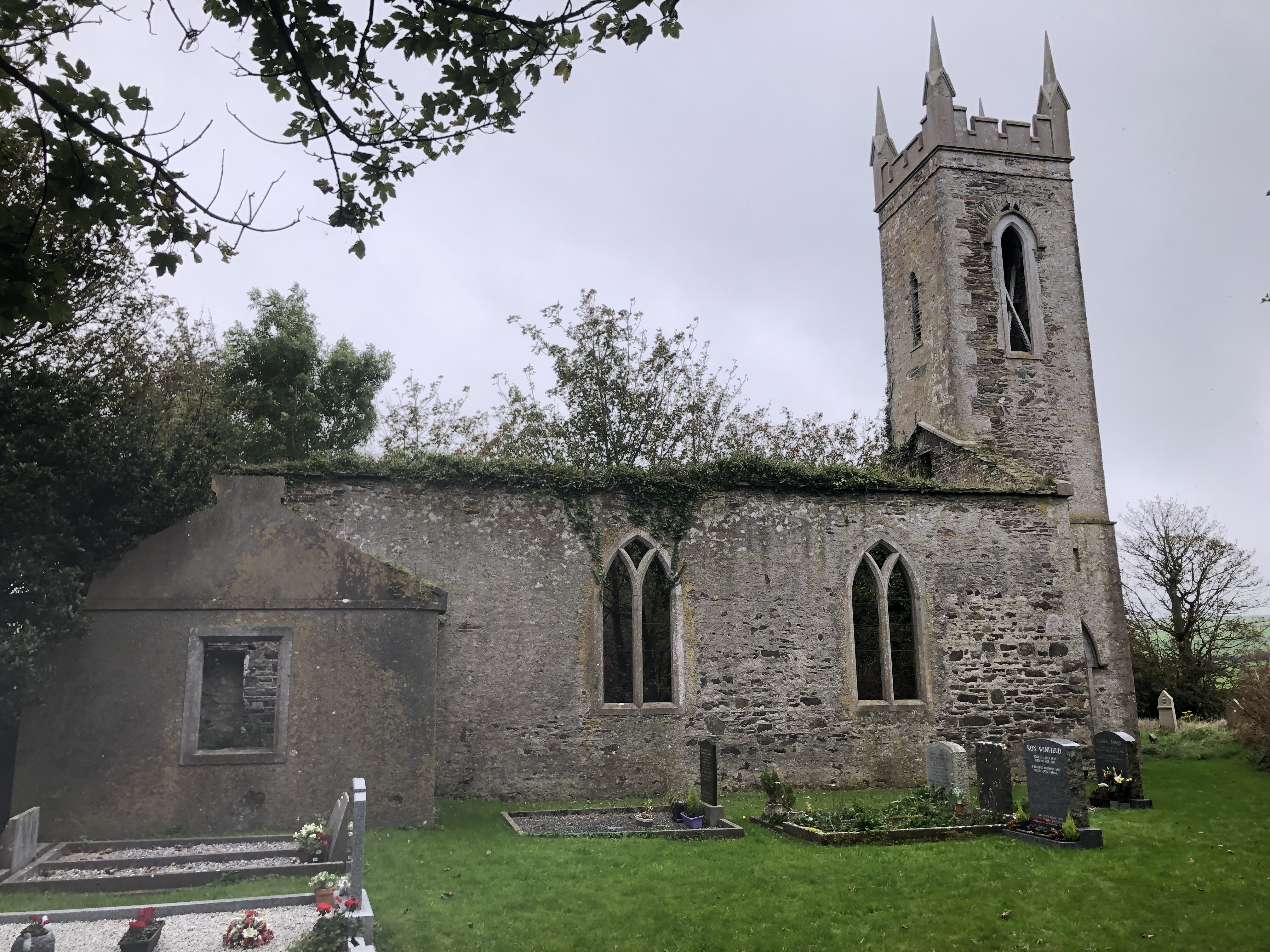 Lislee Court (Site of)Castle, unclassified · 2.0 mi
 Mahon AbbeyHeritage attraction · 2.1 mi
 RailwayMemorial · 2.3 mi
Other information
Photo: Credit not shown in the picture search · Rights wording not checked; contact us if this picture should be removed