What is recorded here
Indicated was a thirty-metre fairy fort on an east-facing Cork slope, visible only as a circular line on an 1842 map before local people levelled it in the 1960s. It vanished without a ridge, hole or memory marker, leaving behind a clean pasture field and a name that points at nothing. Forgetting it is easier than admitting the land swallowed a whole life.
In pasture, on E-facing slope. Hachured as circular enclosure (diam. c. 30m) on 1842 OS 6-inch map; as circular field boundary on later eds of OS 6-inch map. According to local information, levelled c. 1960s. No visible surface trace.
The above description is derived from the published 'Archaeological Inventory of County Cork. Volume 2: East and South Cork' (Dublin: Stationery Office, 1994). In certain instances the entries have been revised and updated in the light of recent research.
Date of upload/revision: 14 January 2009
The monument record does not grant public access. Check the route and ask the landowner before entering private land.
- What survives
- Recorded monument
Places near here
 Lios (Ring Fort)Archaeological place · 472 yd
 KilnKiln, lime · 481 yd
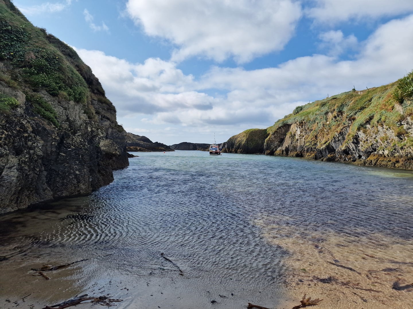 Enclosure in BallinreaEnclosure · 1116 yd
 Country house in CastletreasureCountry house · 1579 yd
 Pauper's GraveyardArchaeological place · 1.1 mi
 Castle Treasure (Site of)Castle, unclassified · 1.2 mi
 Ballea CastleCastle, tower house · 1.5 mi
 Ballybrack WoodsWood · 1.8 mi
 Mulcon ValleyWood · 2.0 mi
 Graveyard in CurraghconwayGraveyard · 2.2 mi
 Cork WalksVisitor information · 4.4 mi
 Mount Hillary - Knightfield LoopWalking route · 26 mi