
What is recorded here
Seefin is a hidden fairy fort on a Meath hill, absent from every official map despite its clear circular shape. Human arrogance built the first fort there, but the fairies took it back and widened the boundary until it swallowed the hill itself. They still meet inside the grass at midnight, arguing over music and memory while the human world forgets the place exists.
Situated at the summit of Seefin Hill, it is not depicted on any OS map. This is a slightly raised circular and grass-covered area (diam. 39m E-W; 36m N-S) defined by slight earthen bank (at NW: Wth of base 7m; Wth of top 2m; int. H 0.25m; ext. H 0.5m) largely reduced to a scarp (at SW: Wth 3.6m; H 0.6m). There is no visible fosse or identifiable original entrance.
The above description is derived from the published 'Archaeological Inventory of County Meath' (Dublin: Stationery Office, 1987). In certain instances the entries have been revised and updated in the light of recent research.
Compiled by: Michel Moore
Date of revision: 9 January 2019
The monument record does not grant public access. Check the route and ask the landowner before entering private land.
- What survives
- Recorded monument
Places near here
 Seafin HillMountain / peak · 16 yd
 CastleCastle, tower house · 710 yd
 IndicatedEnclosure · 811 yd
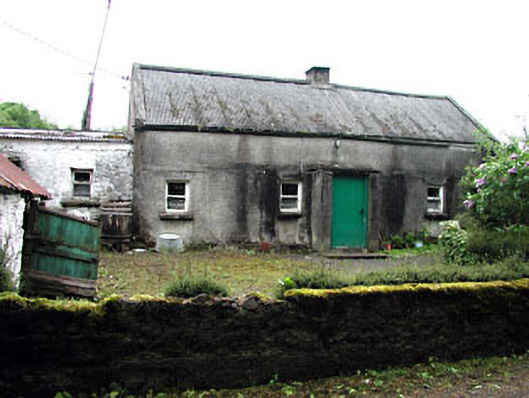 farm housefarm house · 1557 yd
 OutlinedFairy fort / earthen ringfort · 1.0 mi
 Green CastleCastle, unclassified · 1.2 mi
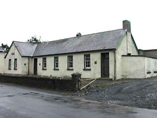 Gortloney National Schoolschool · 1.2 mi
 Noggin HillMountain / peak · 1.2 mi
 European BeechEuropean Beech · 1.6 mi
 Zip WireHeritage attraction · 2.6 mi
 European YewEuropean Yew · 2.7 mi
 C11Named rock · 3.4 mi
Other information
Photo: Credit not shown in the picture search · Rights wording not checked; contact us if this picture should be removed