
What is recorded here
Situated on the top of a hillock in elevated land. Lough Bane is c. 190m to the N, Carrick House is 900m to ESE and ringfort (WM004-032---) 145m to SSW. Monument depicted as a tree-ring and not as an antiquity on all editions of the OS 6-inch maps. A roughly circular raised area (37.5m N-S; 34.5m E-W) defined by a low, poorly preserved earthen bank, best preserved at S, and faced externally with stone masonry of post-1700 date. There are slight traces of an external fosse at N. The raised interior slopes from N-S, and has been planted with trees in the past. This appears to be a ringfort, later re-used as a tree ring. The ringfort or tree-ring stands immediately NNE of a tree-lined avenue leading up to Carrick Ho. as shown on the 1837 ed. OS 6-inch map.
Compiled by: Frank Coyne & Caimin O'Brien
Date of upload: 12 December 2016
The monument record does not grant public access. Check the route and ask the landowner before entering private land.
- What survives
- Recorded monument
Places near here
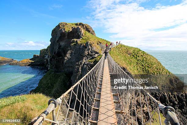 Partially outlinedFairy fort / earthen ringfort · 196 yd
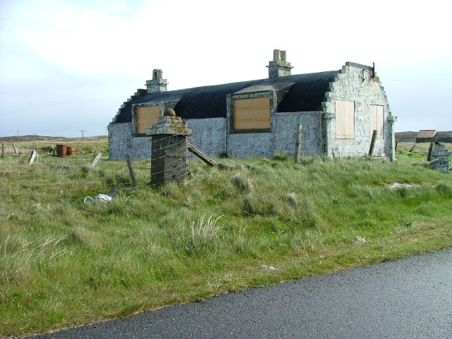 Hut site in BalnavineHut site · 745 yd
 Noggin HillMountain / peak · 841 yd
 CastleCastle, tower house · 1286 yd
 Seafin HillMountain / peak · 1.0 mi
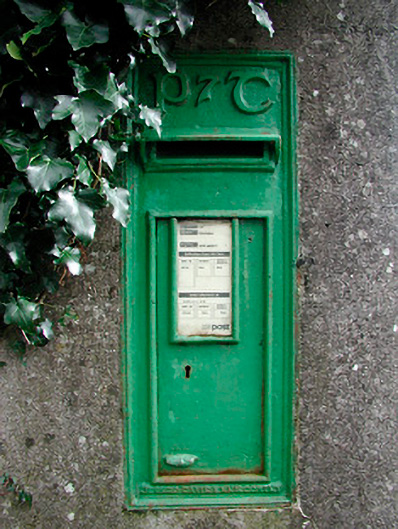 post boxpost box · 1.1 mi
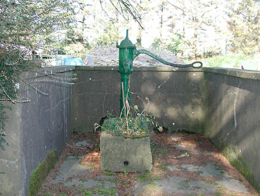 water pumpwater pump · 1.2 mi
 MoatCastle, motte and bailey · 1.7 mi
 South East GateHeritage attraction · 2.0 mi
 Fore AbbeyHeritage attraction · 2.1 mi
 European BeechEuropean Beech · 2.4 mi
 The FurzeForest · 2.5 mi
Other information
Photo: Credit not shown in the picture search · Rights wording not checked; contact us if this picture should be removed