What is recorded here
Situated on a prominent hill, surrounded by hilly and gently undulating land with commanding views of the surrounding countryside. Lough Bane is c. 360m to the N and Carrick House 990m to E. Possible ringfort (WM004-033----) 145m to NNE. Only the S half of this monument survives upstanding as depicted n the 1837 ed. OS 6-inch map. The site has been bisected by a roadway running NW-SE which intersects the ringfort at NE. There is no visible trace of an enclosing element on the N side of this roadway. Present remains consists of a semi-circular shaped area (approx. diam. 29m NW-SE; 19m SW-NE) defined by a low poorly preserved earthen bank mainly reduced to a scarp with shallow external fosse (base Wth 1.4m; top Wth 2.8m) visible from SE-S-W-NW, with traces of an outer bank (H 1m; Wth 2.6m) visible at W only. The uneven interior rises from the perimeter, with a low platform (diam. 9m) SW of centre. There are disturbance gaps in the bank but the original entrance way is not recognisable. The site is very overgrown with trees and scrub.
Situated on a prominent hill, surrounded by hilly and gently undulating land with commanding views of the surrounding countryside. Lough Bane is c. 360m to the N and Carrick House 990m to E. Possible ringfort (WM004-033----) 145m to NNE. Only the S half of this monument survives upstanding as depicted n the 1837 ed. OS 6-inch map. The site has been bisected by a roadway running NW-SE which intersects the ringfort…
From the National Monuments Service (Archaeological Survey of Ireland) record WM004-032
This remains an important historical record, but the official description says the monument is no longer visible or has been destroyed. The monument record does not grant public access. Check the route and ask the landowner before entering private land.
- What survives
- No visible remains or recorded as destroyed
Places near here
Photo credits
- National Inventory of Architectural Heritage
- Oliver Dixon, Wikimedia Commons · CC BY-SA 2.0
- Willow, Wikimedia Commons · CC BY 2.5
- Illustrator not named; The Dublin Penny Journal (1835), public scan from Internet Archive and JSTOR, Wikimedia Commons · Public domain
- Marathon, Wikimedia Commons · CC BY-SA 2.0
- Mike Searle, Geograph · CC BY-SA 2.0
- John M, Wikimedia Commons · CC BY-SA 2.0
- Bill Griffiths, Wikimedia Commons · CC BY-SA 2.0
- James Fergusson, after E. Conwell, Wikimedia Commons · Public domain
- Gavigan, Wikimedia Commons · CC BY-SA 3.0
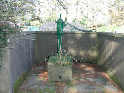 water pump1.1 mi
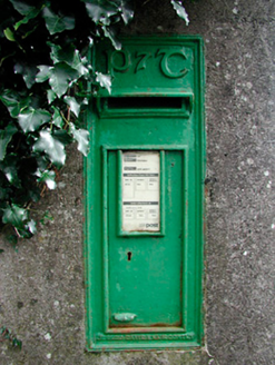 post box1.1 mi
 Ben of ForeMountain / peak · 1.4 mi
 European ash2.0 mi
_(page_1_crop).jpg/250px-Fore_Abbey,_County_Westmeath,_1835_(IA_jstor-30004138)_(page_1_crop).jpg "Photo: Illustrator not named; The Dublin Penny Journal (1835), public scan from Internet Archive and JSTOR, Wikimedia Commons · Public domain") Fore AbbeyHeritage attraction · 2.0 miEuropean ash2.1 mi
Fore AbbeyHeritage attraction · 2.0 miEuropean ash2.1 mi Font in ForeFont · 2.1 mi
 MoatCastle, motte · 3.7 mi
 LoughcrewMegalithic tomb cemetery · 4.5 mi
 Slieve Na CalliaghMountain / peak · 5.0 mi
 Hag's ChairArchaeological place · 5.0 mi
 Clonyn CastleCastle · 5.7 mi
More archaeology and monuments in County Westmeath · All of County Westmeath
What do you know about this place?