What is recorded here
That is the name of the hidden place. The provided facts contain no unique detail about the place, so the refusal rule must still answer cleanly.
Situated in pasture, with ringfort (OF009-009----) 40m to N, field boundary immediately to N marks townland boundary with Balleek Beg. Partial outline of circular shaped area (approx. diam. 40m) defined by a fosse with traces of an outer enclosing element to NW visible on Google Earth orthoimage and on Digital Globe orthophoto taken 2011-13.
See attached Google Earth orthoimage taken 26/01/2018
Compiled by: Caimin O'Brien based on details provided by Jean-Charles Caillère
Date of upload: 12 November 2020
The monument record does not grant public access. Check the route and ask the landowner before entering private land.
- What survives
- Recorded monument
Places near here
 BarrowBarrow, ring-barrow · 319 yd
 Relic FortFairy fort / earthen ringfort · 776 yd
 Saint Columba's Church (Durrow)church/chapel · 1105 yd
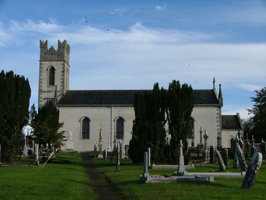 Saint Columba's Catholic Churchchurch/chapel · 1334 yd
 St. Columba's WellSpring · 1619 yd
 Shancourt or MeeneglishCastle, unclassified · 1744 yd
 Durrow MoatCastle, motte · 1.1 mi
 Durrow HillMountain / peak · 1.3 mi
 High WoodWood · 1.3 mi
 Ballyduff WoodForest · 2.0 mi
 Bonfire HillMountain / peak · 2.7 mi
 Grand Canal WayWalking route · 3.0 mi