What is recorded here
Hut site described by Cuppage (1986, 24, no. 25 (f)) as; 'The foundations of this oval hut have been exposed to a height of 0.2m by turf-cutting, but the W part of the outline remains buried beneath 0.3m of uncut peat. It measures 5.5m SW-NE x 5.2m NW-SE internally, and the wall, constructed of a double face of low boulders with a rubble core of smaller stones, is 1.1m thick. A 1m depth of peat remains in the interior of the hut but outside the peat is only 0.3 to 0.5m deep, perhaps indicating that the interior was originally slightly hollowed out of the ground'.
The monument record does not grant public access. Check the route and ask the landowner before entering private land.
- What survives
- Recorded monument
Places near here
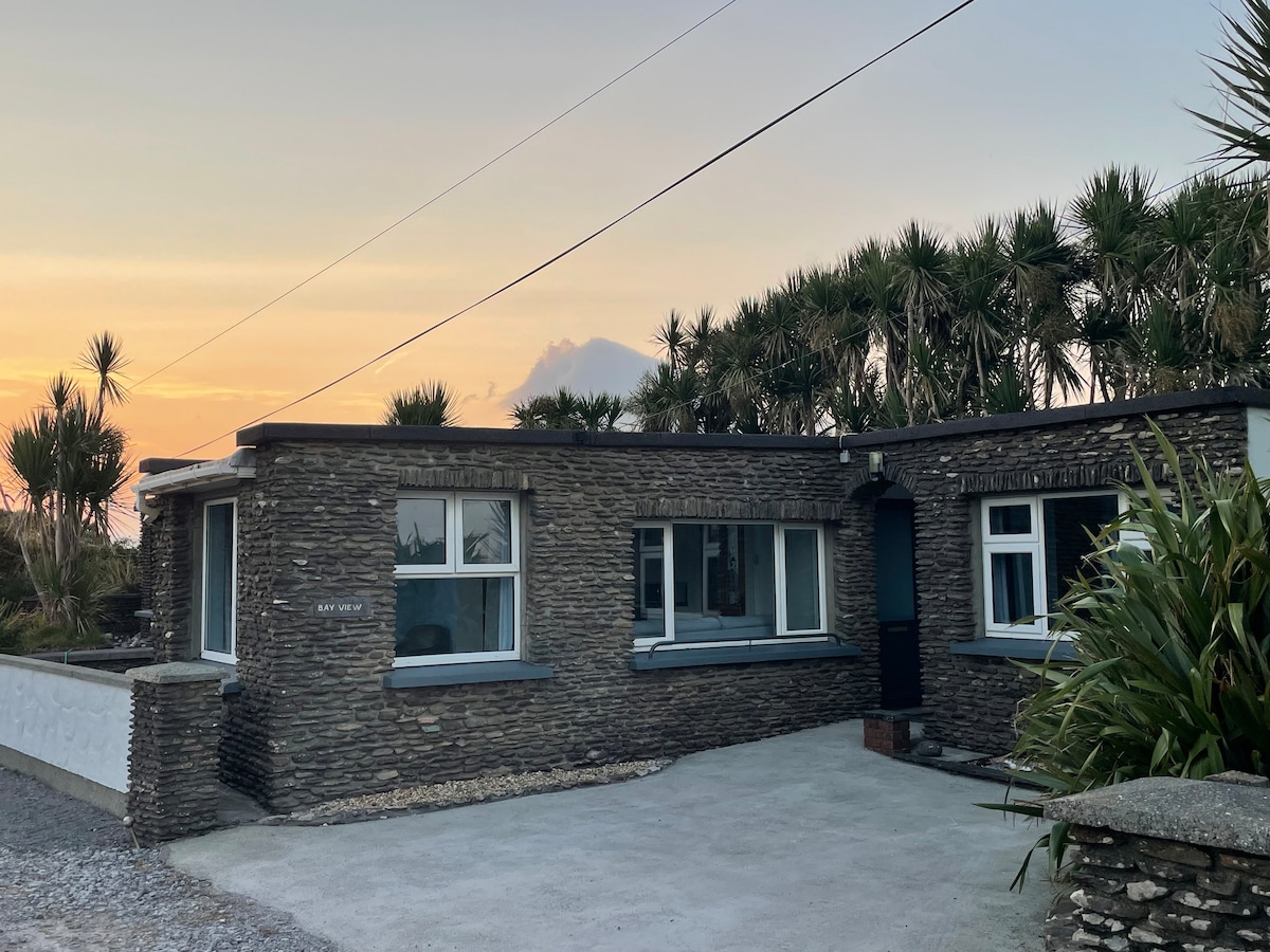 Hut site in Baile Uí UaithnínHut site · 284 yd
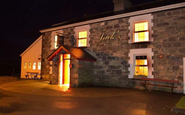 Hut site in An Choill Mhór (bar. Corca Dhuibhne)Hut site · 376 yd
 Church in Cill An UrdráinChurch · 1563 yd
 Sliabh na nGabharMountain / peak · 1666 yd
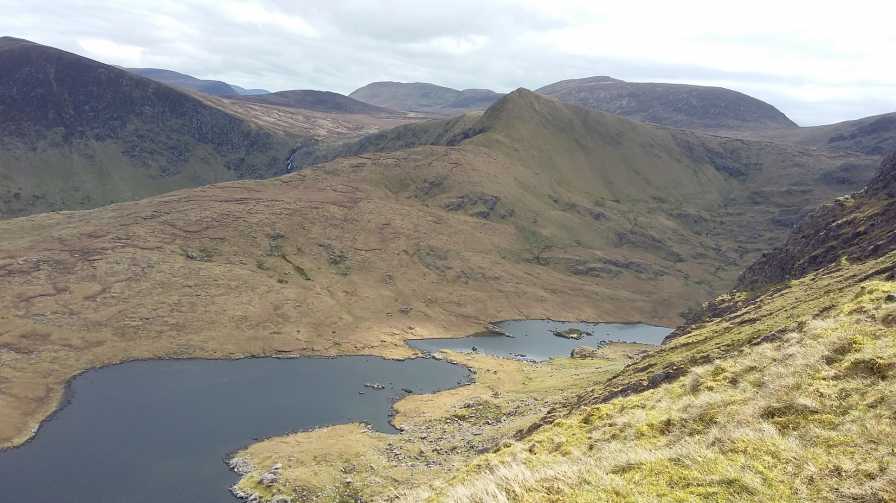 An StarraicínMountain / peak · 1.1 mi
 Séipéal Bhréanainn [Saint Brendan's Catholic Church]church/chapel · 2.2 mi
 Drom BeachBeach / strand · 2.2 mi
 Maughanablagher CliffsCliff · 2.3 mi
 Hillville WoodWood · 2.6 mi
 Site of CastleCastle, unclassified · 2.6 mi
 An ChonairViewpoint · 2.8 mi
 An t'Oileán DubhIslet · 2.9 mi