
What is recorded here
Sliabh na nGabhar reaches an elevation of approximately 500 meters and is part of the broader MacGillycuddy's Reeks range, one of Ireland's most prominent mountain systems. The name, meaning "Mountain of the Goats" in Irish, reflects both the rugged terrain and traditional pastoral use of the area.
Places near here
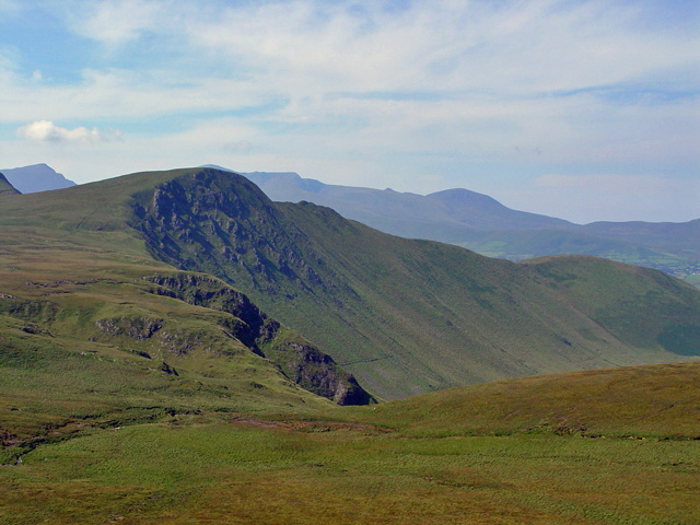 Gob an IolairMountain / peak · 689 yd
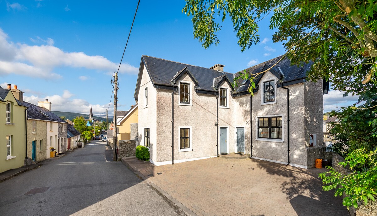 Enclosure in Baile Uí UaithnínEnclosure · 1026 yd
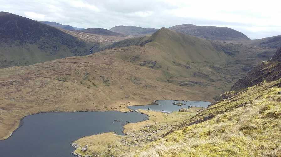 An StarraicínMountain / peak · 1560 yd
 Enclosure in Loch An DúinEnclosure · 1622 yd
 Church in Cill An UrdráinChurch · 1.4 mi
 Maughanablagher CliffsCliff · 2.6 mi
 Hillville WoodWood · 2.8 mi
 Drom BeachBeach / strand · 2.8 mi
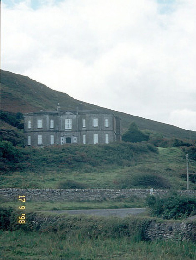 Fermoyle Househouse · 2.9 mi
 Site of CastleCastle, unclassified · 3.0 mi
 An ChonairViewpoint · 3.2 mi
 An t'Oileán DubhIslet · 3.5 mi
Other information
Photo: Credit not shown in the picture search · Rights wording not checked; contact us if this picture should be removed