What is recorded here
Hut site described by Cuppage (1986, 24, no. 25 (d)) as ; 'Located close to the E bank of the river, this roughly oval, drystone-built hut measures 5.3m E-W x 3.5m N-S internally, and its roughly-constructed wall stands to a maximum height of 1.2m. A c. 1m wide gap at SW probably represents the original entrance, but there is also a 0.7m wide gap at ENE'.
The monument record does not grant public access. Check the route and ask the landowner before entering private land.
- What survives
- Recorded monument
Places near here
 Enclosure in Loch An DúinEnclosure · 158 yd
 Fulacht fia in An Choill Mhór (bar. Corca Dhuibhne)Fulacht fia · 307 yd
 Sliabh na nGabharMountain / peak · 1650 yd
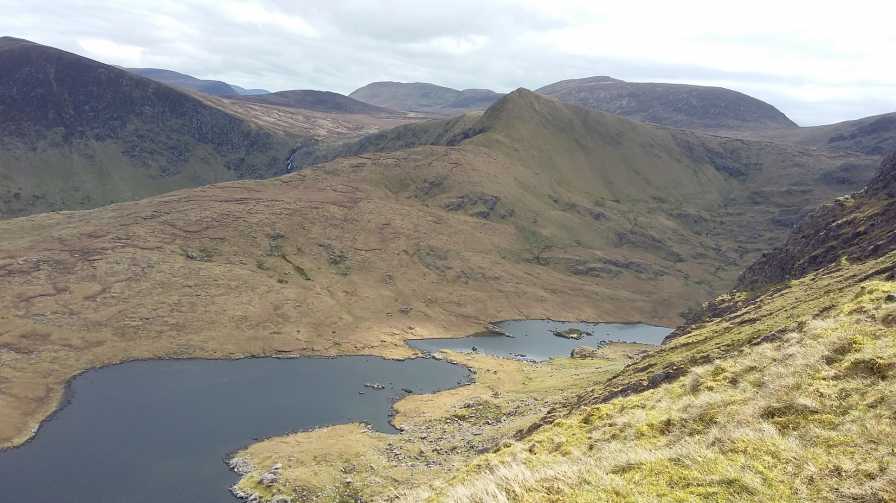 An StarraicínMountain / peak · 1743 yd
 Church in Cill An UrdráinChurch · 1.0 mi
 Maughanablagher CliffsCliff · 2.2 mi
 Séipéal Bhréanainn [Saint Brendan's Catholic Church]church/chapel · 2.3 mi
 Drom BeachBeach / strand · 2.3 mi
 An ChonairViewpoint · 2.7 mi
 Hillville WoodWood · 2.8 mi
 Site of CastleCastle, unclassified · 2.8 mi
 An t'Oileán DubhIslet · 3.0 mi
Other information
Photo: Credit not shown in the picture search · Rights wording not checked; contact us if this picture should be removed