
What is recorded here
Indicated is a cliff-edge fort in County Donegal where a semicircular bank meets a steep precipice, leaving half the defendable world hanging over the void. Its narrow causeway and surrounding fosse suggest entry was meant to be watched, slowed and remembered. The adjacent walled field implies the ridge did not only threaten; it also fed, stored or sustained the people who shaped it.
Internal diam. 34.8m NE-SW. Situated on N edge of the ridge is a semicircular area enclosed by an earth/stone bank c. 1.6m in height and bounded along its N sector by a steep precipice. A fosse c. 2m in width surrounds the site. There is an entrance and causeway in the NE sector. A small field [c. 40m NW-SE; c. 40m NE-SW] enclosed by a low wall adjoins the site to the S.
The above description was derived from the 'Archaeological Survey of County Donegal. A description of the field antiquities of the County from the Mesolithic Period to the 17th century.' Compiled by: Brian Lacey with Eamon Cody, Claire Cotter, Judy Cuppage, Noel Dunne, Vincent Hurley, Celie O'Rahilly, Paul Walsh and Seán Ó Nualláin (Lifford: Donegal County Council, 1983). In certain instances the entries have been revised and updated.
Date of upload: 3 November 2014
The monument record does not grant public access. Check the route and ask the landowner before entering private land.
- What survives
- Recorded monument
Places near here
 Enclosure in ArdpattanEnclosure · 272 yd
 Enclosure in Tullymore (ballyshannon Ed)Enclosure · 439 yd
 Church in ArdgillewChurch · 1274 yd
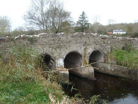 Tullymore Bridgebridge · 1711 yd
 HawthornHawthorn · 1.2 mi
 RossnowlaghOfficial bathing water · 2.3 mi
 St Anne's Church GraveyardGraveyard · 2.4 mi
 CastleCastle, unclassified · 2.4 mi
 Kilbarron Old Church GraveyardGraveyard · 2.5 mi
 Castle (Site of)Castle, unclassified · 2.6 mi
 Dark Cliffs at KilbarronPublicly named cliff or headland · 3.1 mi
 Wardtown StrandBeach / strand · 3.4 mi
Other information
Photo: Credit not shown in the picture search · Rights wording not checked; contact us if this picture should be removed