
What is recorded here
First recorded by Davies (1942, 100, site c), this enclosure consists of a subcircular area (14.4m E–W; 12m N–S) defined by a barely discernible, slightly raised undulation, possibly the remnants of a bank or wall. The enclosed space encompasses the full N–S width of the terrace so that at SE–SW the enclosing undulation merges with the outer lip or edge of the terrace, and at NW–NE it becomes an inward-facing scarp where the terrace backs onto the higher ridge slope. The interior space (diam. c. 9-10m) is level. A small, circular hollow (diam. 3m; D 0.4m on E side), with no visible evidence of an enclosing wall or other structural features, is located 4m to W of the enclosure. It was noted by Davies (ibid, 100, Site ‘d’) who suggested that it might be the foundations of a limekiln.
Compiled by: Jane O’ Shaughnessy
Date of upload: 15 February 2016
A local fairy fort (ringfort/rath); wider significance not recorded.
The monument record does not grant public access. Check the route and ask the landowner before entering private land.
- What survives
- Recorded monument
Places near here
 IndicatedCliff-edge fort · 272 yd
 Enclosure in Tullymore (ballyshannon Ed)Enclosure · 394 yd
 Church in ArdgillewChurch · 1055 yd
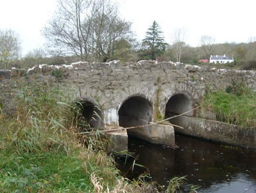 Tullymore Bridgebridge · 1692 yd
 HawthornHawthorn · 1.1 mi
 St Anne's Church GraveyardGraveyard · 2.4 mi
 CastleCastle, unclassified · 2.4 mi
 RossnowlaghOfficial bathing water · 2.4 mi
 Kilbarron Old Church GraveyardGraveyard · 2.6 mi
 Castle (Site of)Castle, unclassified · 2.6 mi
 Dark Cliffs at KilbarronPublicly named cliff or headland · 3.3 mi
 Wardtown StrandBeach / strand · 3.4 mi
Other information
Photo: Credit not shown in the picture search · Rights wording not checked; contact us if this picture should be removed