
What is recorded here
In pasture, located on slightly elevated, level ground broken by low outcropping of limestone bedrock, overlooked c. 100m to NW by the steeply rising S slope of Twomilestone ridge. There is a natural dip in ground level c. 10m to N in which there is a small pool of standing water. This small enclosure consists of a subcircular area (9m N−S; 10m E−W) defined on the perimeter by remnants of a wall evident as a low sod-covered stony rise (Wth 1.4-1.6m; H 0.2-0.3m). The wall appears more substantial (Wth 2m) along the SW arc but in general is poorly defined and gapped, especially at NNE-E. The interior is level with a somewhat uneven surface dotted with moss-covered stones.
Compiled by: Jane O'Shaughnessy
Date of upload: 2 September 2016
The monument record does not grant public access. Check the route and ask the landowner before entering private land.
- What survives
- Recorded monument
Places near here
 Enclosure in ArdpattanEnclosure · 394 yd
 IndicatedCliff-edge fort · 439 yd
 Church in ArdgillewChurch · 920 yd
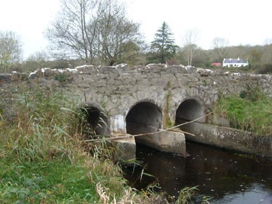 Tullymore Bridgebridge · 1304 yd
 HawthornHawthorn · 1.3 mi
 St Anne's Church GraveyardGraveyard · 2.1 mi
 CastleCastle, unclassified · 2.2 mi
 RossnowlaghOfficial bathing water · 2.4 mi
 Kilbarron Old Church GraveyardGraveyard · 2.5 mi
 Castle in ruinsCastle, unclassified · 2.5 mi
 Dark Cliffs at KilbarronPublicly named cliff or headland · 3.2 mi
 Wardtown StrandBeach / strand · 3.2 mi
Other information
Photo: Credit not shown in the picture search · Rights wording not checked; contact us if this picture should be removed