
What is recorded here
Thirty-two centuries of rain have softened the earthen bank into a vague swelling, yet the twenty-three-metre circle still holds its shape against the marsh. Modern fences have cut through the ancient boundary, treating the sacred geometry as merely an obstacle to be crossed. The Leitrim mountains watch from the south while the forgotten fort waits in the poor soil, enduring the erosion of time and human indifference alike.
Internal diam. 23m. A circular area enclosed by an earthen bank with an external fosse, only vaguely traceable in places. The site is badly overgrown and cut into by modern fences, some parts of the banks having been removed altogether. The surrounding land is poor and marshy with the Leitrim mountains rising a short distance to the S.
The above description was derived from the 'Archaeological Survey of County Donegal. A description of the field antiquities of the County from the Mesolithic Period to the 17th century.' Compiled by: Brian Lacey with Eamon Cody, Claire Cotter, Judy Cuppage, Noel Dunne, Vincent Hurley, Celie O'Rahilly, Paul Walsh and Seán Ó Nualláin (Lifford: Donegal County Council, 1983). In certain instances the entries have been revised and updated.
Date of upload: 22 September 2008
The monument record does not grant public access. Check the route and ask the landowner before entering private land.
- What survives
- Recorded monument
Places near here
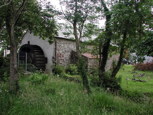 Mullanaleck Millmill (water) · 1084 yd
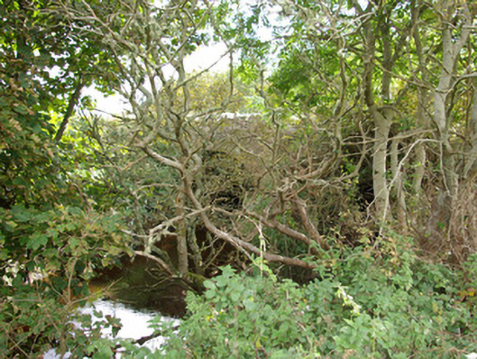 bridgebridge · 1133 yd
 Rathglass Fairy FortFairy fort / earthen ringfort · 1556 yd
 Rathglass Double-Banked Fairy FortFairy fort / earthen ringfort · 1705 yd
 Lareen BayBay · 1.0 mi
 Rosfriar PointHeadland · 1.3 mi
 CastleCastle, tower house · 1.6 mi
 Finner Old GraveyardGraveyard · 1.7 mi
 BundoranOfficial bathing water · 1.8 mi
 InisheherIslet · 1.9 mi
 Wishing ChairHeritage attraction · 2.0 mi
 Fairy BrigesHeritage attraction · 2.0 mi
Other information
Photo: Credit not shown in the picture search · Rights wording not checked; contact us if this picture should be removed