What is recorded here
Ardanragh castle watched from seven hundred metres away while an unnamed hand cut a wide fosse through wet pasture, building a low earth bank around a square space large enough for a hall or a dovecote. Cattle now walk the drowned entrance and trample the memory flat, but the rounded corners still resist the plough. The moat failed only because people stopped seeing it as a boundary and began seeing it as ground.
On wet, low-lying ground in pasture. A raised almost square area (c. 24m NW-SE; c. 23m NE-SW), with rounded corners, enclosed by a partially denuded, wide, low bank of earth and stone (Wth 6m; H 0.35m) with a wide, shallow, external fosse (Wth 5.5m; D 0.3m). The bank is truncated along the SE side by a NE-SW hedgerow. The fosse has been largely infilled along the SW, NW and NE sides. The original entrance is not recognisable. Ardanragh castle (LF024-005----) is located c. 700m to the ESE.
Compiled by: Patrick F. O'Donovan
Date of upload: 3 May 2012
The monument record does not grant public access. Check the route and ask the landowner before entering private land.
- What survives
- Recorded monument
Places near here
 Hachured FortsFairy fort / earthen ringfort · 762 yd
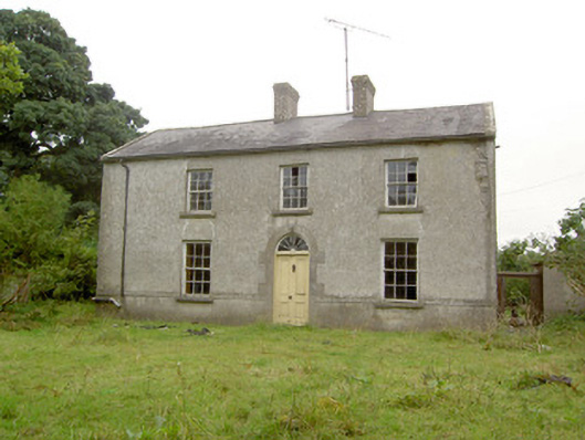 Castle Farmhouse · 789 yd
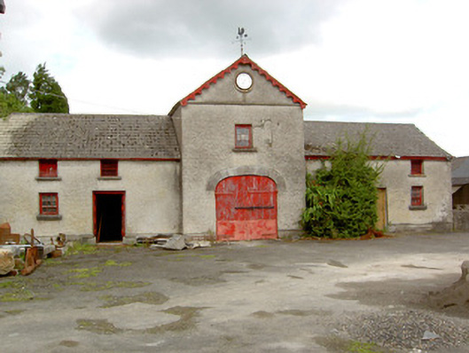 Sunfield Housefarmyard complex · 876 yd
 Lady WellHoly well · 1156 yd
 Pedunculate OakPedunculate Oak · 1733 yd
 Common AlderCommon Alder · 1.1 mi
 CastleCastle, motte · 2.4 mi
 Abbeyshrule AbbeyRuins · 2.5 mi
 Not locatedCastle, unclassified · 3.0 mi
 Goldsmith Birthplace, PallasVisitor information · 4.1 mi
 Newcastle WoodsForest · 4.7 mi
 Guest ServicesVisitor information · 4.8 mi