What is recorded here
In middle of ancient field system (CO091-009001-). Rough stones arranged in a rough rectangle (4m E-W; 2m N-S) defined on 3 sides by prostrate stones; according to local informationa flagstone covering site was removed for road works.
The above description is derived from the published 'Archaeological Inventory of County Cork. Volume 1: West Cork' (Dublin: Stationery Office, 1992). In certain instances the entries have been revised and updated in the light of recent research.
Date of upload/revision: 14 January 2009
The monument record does not grant public access. Check the route and ask the landowner before entering private land.
- What survives
- Recorded monument
Places near here
 Field system in CurramoreField system · 29 yd
 Enclosure in Derryduff MoreEnclosure · 1155 yd
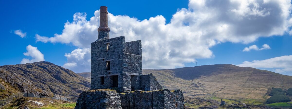 MineMine, copper · 1.0 mi
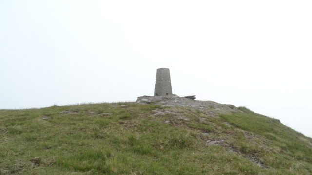 Knockboy North TopMountain / peak · 1.8 mi
 Coomhola MountainMountain / peak · 1.8 mi
 The Priests LeapViewpoint · 2.3 mi
 CaoinkeenCliff · 2.7 mi
 Carriganass CastleCastle · 2.9 mi
 Carriganass Bridgebridge · 2.9 mi
 Coomhola Salmon Trust (Streamscapes)Museum · 3.2 mi
 Daly's LoopWalking route · 3.5 mi
 Kealkill stone circleVisitor information · 3.6 mi