
What is recorded here
In rough hill grazing, in a sheltered SW-sloping hollow overlooking the valley of Coomhola River. A roughly rectangular area (8.3m NE-SW; 4.9m NW-SE) is defined by the remains of a partially collapsed stone wall (T 0.6m; H 0.1- 0.65m) at SW, NW and NE and by an outcropping rock at SE. Several contiguous stone slabs, protruding above the surface of the bog, occur at irregular intervals along the perimeter. Within the SW half of the enclosure a smaller rectangular area (c. 2.65m NE-SW; c. 1.4m NW-SE) is defined by stone slabs embedded on the shallow bog and may be the remnants of a turf stand for stacking turf.
The above description is derived from 'The Archaeological Inventory of County Cork. Volume 5' (Dublin: Stationery Office, 2009).
Date of upload: 22 December 2009
The monument record does not grant public access. Check the route and ask the landowner before entering private land.
- What survives
- Recorded monument
Places near here
 Field system in CurramoreField system · 1134 yd
 Megalithic structure in Derryduff MoreMegalithic structure · 1142 yd
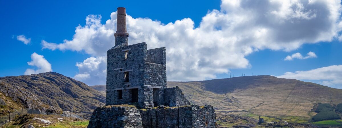 MineMine, copper · 1.5 mi
 Bulls PocketMountain / peak · 1.5 mi
 KnockbreteenMountain / peak · 1.8 mi
 Carriganass CastleCastle · 2.3 mi
 Carriganass Bridgebridge · 2.3 mi
 The Priests LeapViewpoint · 2.6 mi
 Coomhola Salmon Trust (Streamscapes)Museum · 2.8 mi
 Kealkill stone circleVisitor information · 3.0 mi
 Daly's LoopWalking route · 3.0 mi
 CaoinkeenCliff · 3.3 mi
Other information
Photo: Credit not shown in the picture search · Rights wording not checked; contact us if this picture should be removed