What is recorded here
Indicated is a faint twelve-metre circle hidden in Abbey House demesne near Rathkeale, mapping an ancient boundary or forgotten burial before human activity erased it. The barrow vanished from later charts and modern photographs, yet a similar circle still stands one hundred and twenty-five metres away. Distance and time may have struck the first circle rather than record alone.
On flat pasture 115m N of the townland boundary with Ballywilliam North. The enclosure is within the demesne lands surrounding Abbey House and is located 620m SE of the ruins of the Augustinian Priory (LI029-031006-) on the Main Street in Rathkeale. The site is depicted as a small circular enclosure or antiquity on the 1840 ed. OSi 6-inch map. Not shown on the 1897 ed. OSi 25-inch map or subsequent maps. The enclosure is not visible on either the OSi orthoimage taken 2005-12 or on the Digital Globe orthoimages taken 2011-2013. The site (ext. diam. c. 12.5m N-S; 12.5m E-W) is faintly visible on the Google Earth orthoimage taken 05/02/2009, but not visible on the orthoimage taken 28/06/2018. The monument could be a ring-barrow or landscape demesne feature / tree-ring. A similar feature survives 125m E of the site in the next field and is visible both on aerial orthoimages and on the 1897 ed. OSi 25-inch map.
See attached Google Earth orthoimages
Compiled by: Edmond O’Donovan
Date of upload: 25 September 2020
The monument record does not grant public access. Check the route and ask the landowner before entering private land.
- What survives
- Recorded monument
Places near here
 AbbeyReligious house, Augustinian canons · 698 yd
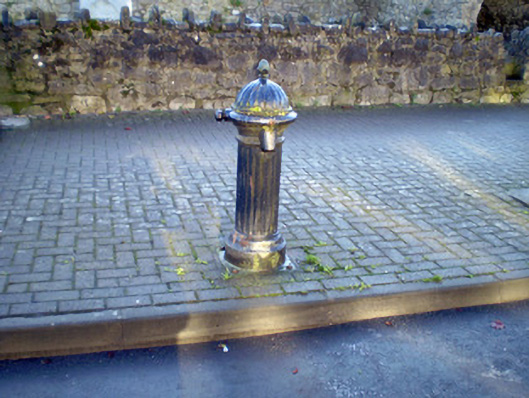 water pumpwater pump · 710 yd
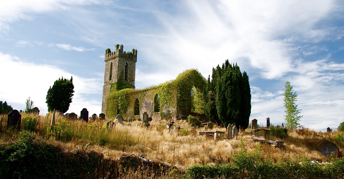 Grave YardGraveyard · 1365 yd
 RathkealeFairy fort / earthen ringfort · 1474 yd
 Glebe CastleCastle · 1648 yd
 Castle MatrixCastle, tower house · 1.3 mi
 TobernablahySpring · 2.2 mi
 Flat cemetery in CroaghFlat cemetery · 2.5 mi
 European ashEuropean ash · 2.6 mi
 St. Kieran's WellSpring · 3.4 mi
 Flat cemetery in Kiltenan SouthFlat cemetery · 3.9 mi
 Little HeavenHeritage attraction · 5.4 mi