
What is recorded here
Rathronan is a ruined ringwork castle in County Tipperary, Ireland. Its earthen bank still rises two metres inside the enclosure, though the south quadrant has collapsed into a shallow scarp and nettles now choke the ground where young ash trees struggle. The site may have served a Templar manor, and a pre-18th-century church perhaps stood on the hill immediately north. Local fields have been farmed around it for generations, their boundaries shifting and soil dumped onto the western bank until the fort became half-hidden beneath pasture and orchard.
On a SE-facing slope in undulating terrain. Vegetable garden in small field directly S of monument, otherwise surrounded by pasture. Possible location of pre-18th-century church (TS077-060----) on top of hill c. 150m immediately N of monument. Irregular-shaped enclosure (diam. 26.5m N-S; 26m E-W) defined by an earthen bank (Wth 2.5m crest, 8.7m base; int. H 2.08m; ext. H 1.68m) with a steep drop to the exterior. Bank in the S quadrant is largely reduced to scarp (Wth 3.2m crest, 5.9m base; int. H 0.37m; ext. H 1.95m). There is no clearly defined entrance, however the banks are quite overgrown. Bank at E end of N side is quite eroded, possibly a result of disturbance. The interior is planted with young ash and fir trees and is very overgrown with nettles. The E side of the monument is curving the other N, S and W sides are straight. Field boundaries W of ringwork were levelled some years ago and most of the material was dumped onto the W bank of the monument, the N bank was also disturbed by clearance activity. There is no visible fosse. Rathronan is associated with a Templar manor (Gwynn and Hadcock 1988, 330). The OS Letters describe this as a square fort 'raised about nine feet [2.7m] above the level of the field; it has at present no external rampart and the land is tilled to its very base. It is now in an orchard and seven apple trees grown on top of it' (O'Flanagan 1930, vol. 1, 51).
Compiled by: Jean Farrelly
Date of upload: 26 August 2011
The monument record does not grant public access. Check the route and ask the landowner before entering private land.
- What survives
- Recorded monument
Places near here
 The Bell TreeRitual site, holy tree/bush · 79 yd
 CastleCastle, unclassified · 149 yd
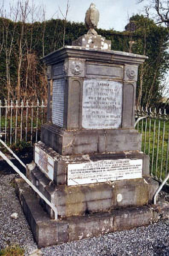 Rathronan Churchmonument · 181 yd
 Enclosure in RathronanEnclosure · 544 yd
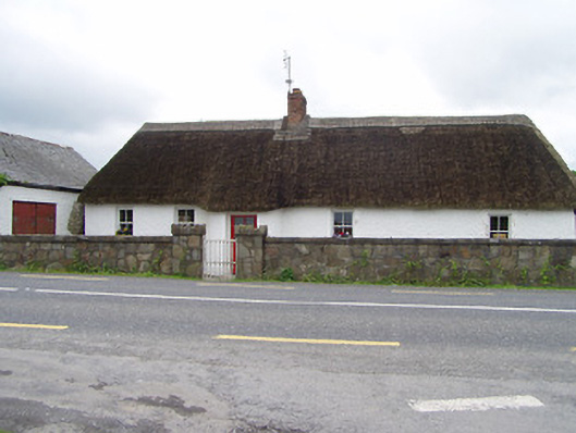 The Thatchhouse · 1.2 mi
 The WoodsForest · 1.3 mi
 Bawn in PowerstownBawn · 1.5 mi
 Vincent HanleyMemorial · 2.0 mi
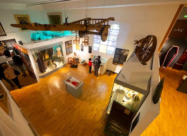 Tipperary Museum of Hidden HistoryMuseum · 2.0 mi
 Persian WalnutPersian Walnut · 2.0 mi
 Charles BianconiMemorial · 2.2 mi
 Main GuardHeritage attraction · 2.2 mi
Other information
Photo: Credit not shown in the picture search · Rights wording not checked; contact us if this picture should be removed