
What is recorded here
Indicated on the 1904 ed. OS 6-inch map as 'The Bell Tree', a name which could be a corruption of the Irish 'bile' meaning holy tree. The OS letters (1840) mention 'a large ash tree in full bloom, measuring eighteen feet six inches [5.63m] in circumference at the base, about one hundred paces to the east of it [i.e. the 'Fort of Rath Ronain' TS-77-061----]'. According to Lucas (1963, 23), 'a local writer in 1949 referred to [it] as the "bella tree" and described [it] as in decay'. There is no trace of this tree which according to local information was felled in 1958, before which it was a popular meeting place known as the 'bella tree'. A young ash was planted in its place. There are a variety of trees in this location, all of which appear to be young.
Compiled by: Jean Farrelly
Date of upload: 26 August 2011
The Bell Tree at Rathronan is likely associated with a holy or sacred tree tradition, possibly linked to early Christian or pre-Christian rituals. The name may derive from the Irish *bile*, referring to a sacred tree often connected to local saints or healing practices.
This remains an important historical record, but the official description says the monument is no longer visible or has been destroyed. The monument record does not grant public access. Check the route and ask the landowner before entering private land.
- What survives
- No visible remains or recorded as destroyed
Places near here
 RathronanCastle, ringwork · 79 yd
 CastleCastle, unclassified · 106 yd
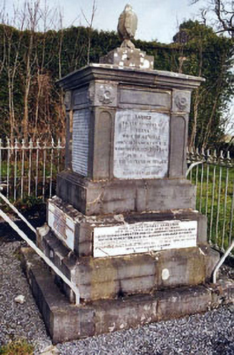 Rathronan Churchmonument · 236 yd
 Enclosure in RathronanEnclosure · 487 yd
 FortwilliamFairy fort / earthen ringfort · 1423 yd
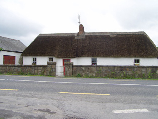 The Thatchhouse · 1.3 mi
 The WoodsForest · 1.3 mi
 Vincent HanleyMemorial · 1.9 mi
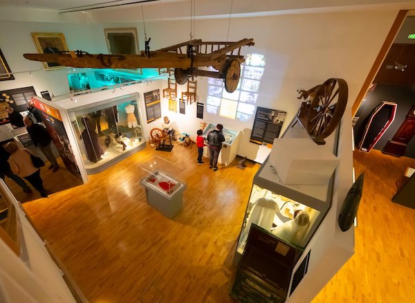 Tipperary Museum of Hidden HistoryMuseum · 2.0 mi
 Persian WalnutPersian Walnut · 2.0 mi
 Charles BianconiMemorial · 2.1 mi
 Main GuardHeritage attraction · 2.1 mi
Other information
Photo: Credit not shown in the picture search · Rights wording not checked; contact us if this picture should be removed