What is recorded here
At the base of a N-facing slope in a small valley which runs E-W, within a graveyard (TS077-085001-), near the southern boundary. References to this church appear as early as 1210 and 1260 as 'Kilcronete' and 'Kilcronactan' respectively in the Pontificia Hibernica (Ó Cearbhaill 2007, 107). Futher references to 'Kilcrone' and 'Killcronyth' appear in the Papal Tax records and the diocesan records of Lismore in 1306 and 1499 respectively (ibid.) and from 1539-40 to 1615 it appears as various forms of Kilgrant in the Inquisitions of Tipperary, the Calendar of Fiants, the Irish patent rolls and the Royal Visitation records (ibid. 107-8). The Civil Survey (1654-6) refers to the 'Church of Killgrant' with one and a half acres of the three acres of glebeland being situated E of the church and fenced with a ditch (Simington 1931, vol. 1, 285). The nave (int. dims. c. 5.2m N-S; c. 8m E-W; wall T 0.7m; W wall int. H 0.58m; ext. H 0.55m) and chancel (int. dims. 4.8m E-W) church, aligned E-W, is defined by low walls overgrown with grass. Only a short length of upstanding wall survives, at the E end of the S wall of the nave, very badly overgrown with ivy. The church is divided by a cross-wall (T 0.7m). There is a possible entrance (Wth 1.3m) in the N wall of the nave. The OS Letters refer to a 'semicircular doorway constructed of chiselled red sandstone' (Wth 1.2m; H 1.9m) in part of the S wall, only 4.5m length of which then survived upstanding (O'Flanagan 1930, vol. 2, 147).
Compiled by: Jean Farrelly
Date of upload: 26 August 2011
The church at Mylerstown, known in historical records as 'Kilcronete' or 'Kilcronact' from at least 1210, was likely built by a local monastic or ecclesiastical community, probably in the early medieval period. Its name suggests dedication to St Cronan, and it is situated within a graveyard, indicating its former religious significance in the area.
The monument record does not grant public access. Check the route and ask the landowner before entering private land.
- What survives
- Recorded monument
Places near here
 Bawn in PowerstownBawn · 485 yd
 Enclosure in PowerstownEnclosure · 653 yd
 Enclosure in Doon (kilgrant Par.)Enclosure · 781 yd
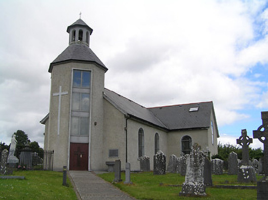 Catholic Church of Saint John the Baptistchurch/chapel · 1094 yd
 The WoodsForest · 1483 yd
 CastleCastle, unclassified · 1.1 mi
 Saint Patrick's Cemeterychurch/chapel · 1.2 mi
 BaldcypressBaldcypress · 1.4 mi
 Tipperary Museum of Hidden HistoryMuseum · 1.7 mi
 Vincent HanleyMemorial · 1.8 mi
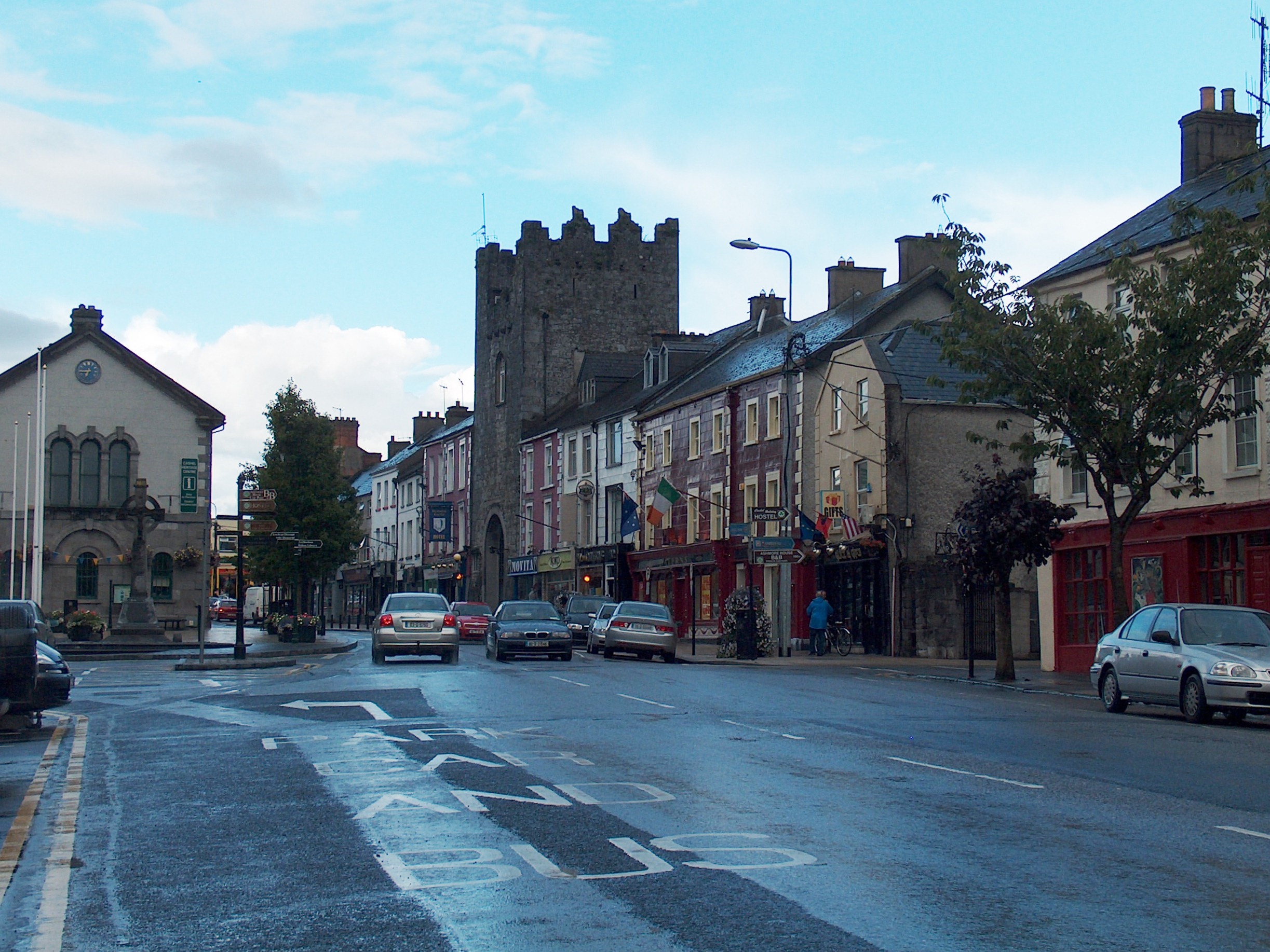 Mick Delahunty SquareMemorial · 1.8 mi
 Main GuardHeritage attraction · 1.9 mi