
What is recorded here
In tillage. An oval enclosure (dims. c. 37m NE-SW; c. 46m NW-SE) identified by Jean-Charles Caillère as a cropmark on satellite imagery (Google Earth, 14 July 2019).
See attached:
TS077-125----_01 Google Earth satellite imagery, 14 July 2019
Compiled by: Jean Farrelly
Date of upload: 9 September 2020
The monument record does not grant public access. Check the route and ask the landowner before entering private land.
- What survives
- Recorded monument
Places near here
 Bawn in PowerstownBawn · 357 yd
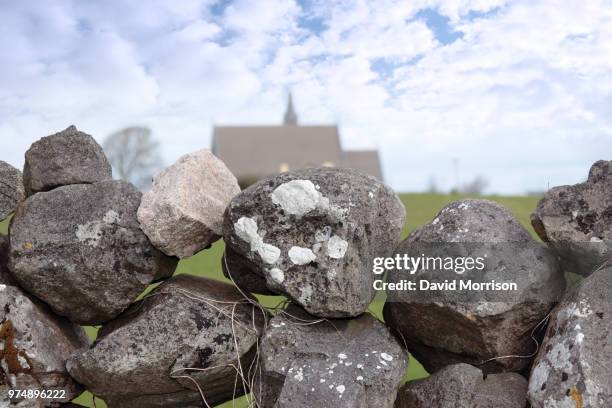 Enclosure in Ballyvaughan (kilgrant Par.)Enclosure · 489 yd
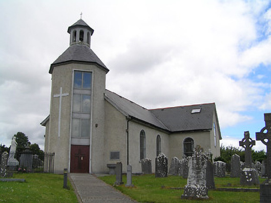 Catholic Church of Saint John the Baptistchurch/chapel · 836 yd
 Enclosure in Doon (kilgrant Par.)Enclosure · 1006 yd
 CastleCastle, unclassified · 1494 yd
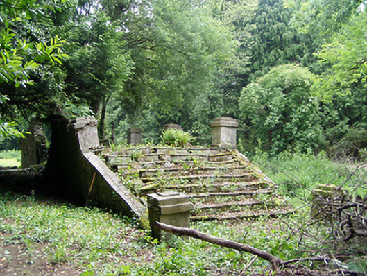 Newtownanner Housegarden temple · 1.0 mi
 BaldcypressBaldcypress · 1.1 mi
 Common LimeCommon Lime · 1.1 mi
 Tipperary Museum of Hidden HistoryMuseum · 2.0 mi
 Vincent HanleyMemorial · 2.1 mi
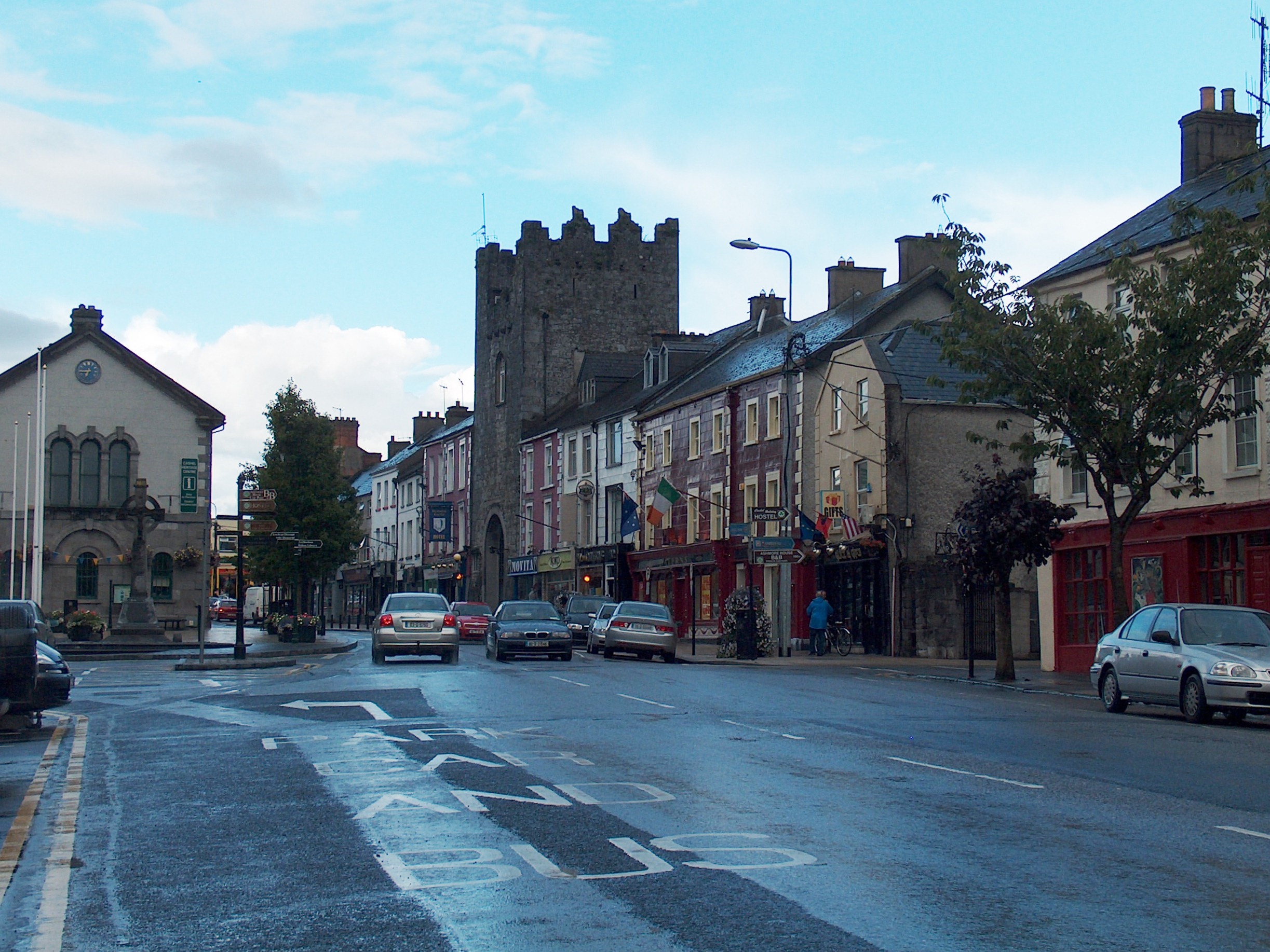 Mick Delahunty SquareMemorial · 2.1 mi
 Main GuardHeritage attraction · 2.2 mi
Other information
Photo: Credit not shown in the picture search · Rights wording not checked; contact us if this picture should be removed