
What is recorded here
On flat summit at E end of an E-W running ridge. Field recently ploughed and planted. Electricity pylon in field c. 30m NE of monument. Monument appears as a roughly circular enclosure on aerial photograph (CUCAP July 1970 BDR 62). Though the enclosure has been levelled it is discernible as a slight circular rise (diam. 30m E-W) with traces of shallow fosse on E side. There is a high field bank immediately W of the enclosure. Field boundary to the N has been removed and appears as a cropmark on the aerial photograph.
Compiled by: Jean Farrelly
Date of upload: 26 August 2011
This remains an important historical record, but the official description says the monument is no longer visible or has been destroyed. The monument record does not grant public access. Check the route and ask the landowner before entering private land.
- What survives
- No visible remains or recorded as destroyed
Places near here
 Enclosure in PowerstownEnclosure · 489 yd
 Bawn in PowerstownBawn · 846 yd
 Enclosure in Doon (kilgrant Par.)Enclosure · 1047 yd
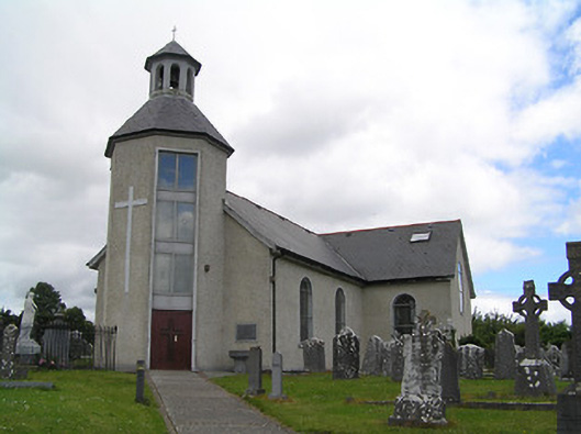 Catholic Church of Saint John the Baptistchurch/chapel · 1230 yd
 CastleCastle, unclassified · 1321 yd
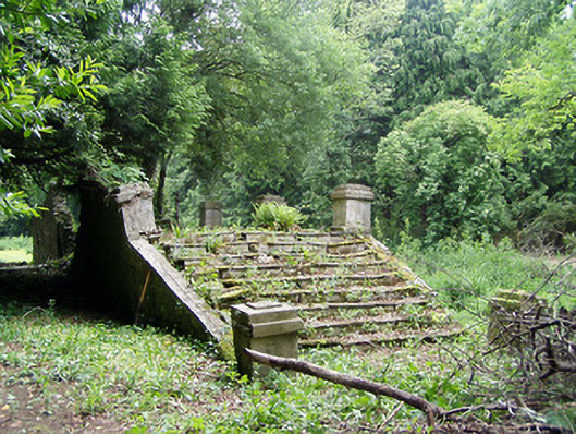 Newtownanner Housegarden temple · 1.0 mi
 BaldcypressBaldcypress · 1.1 mi
 Common LimeCommon Lime · 1.1 mi
 Tipperary Museum of Hidden HistoryMuseum · 2.3 mi
 Vincent HanleyMemorial · 2.3 mi
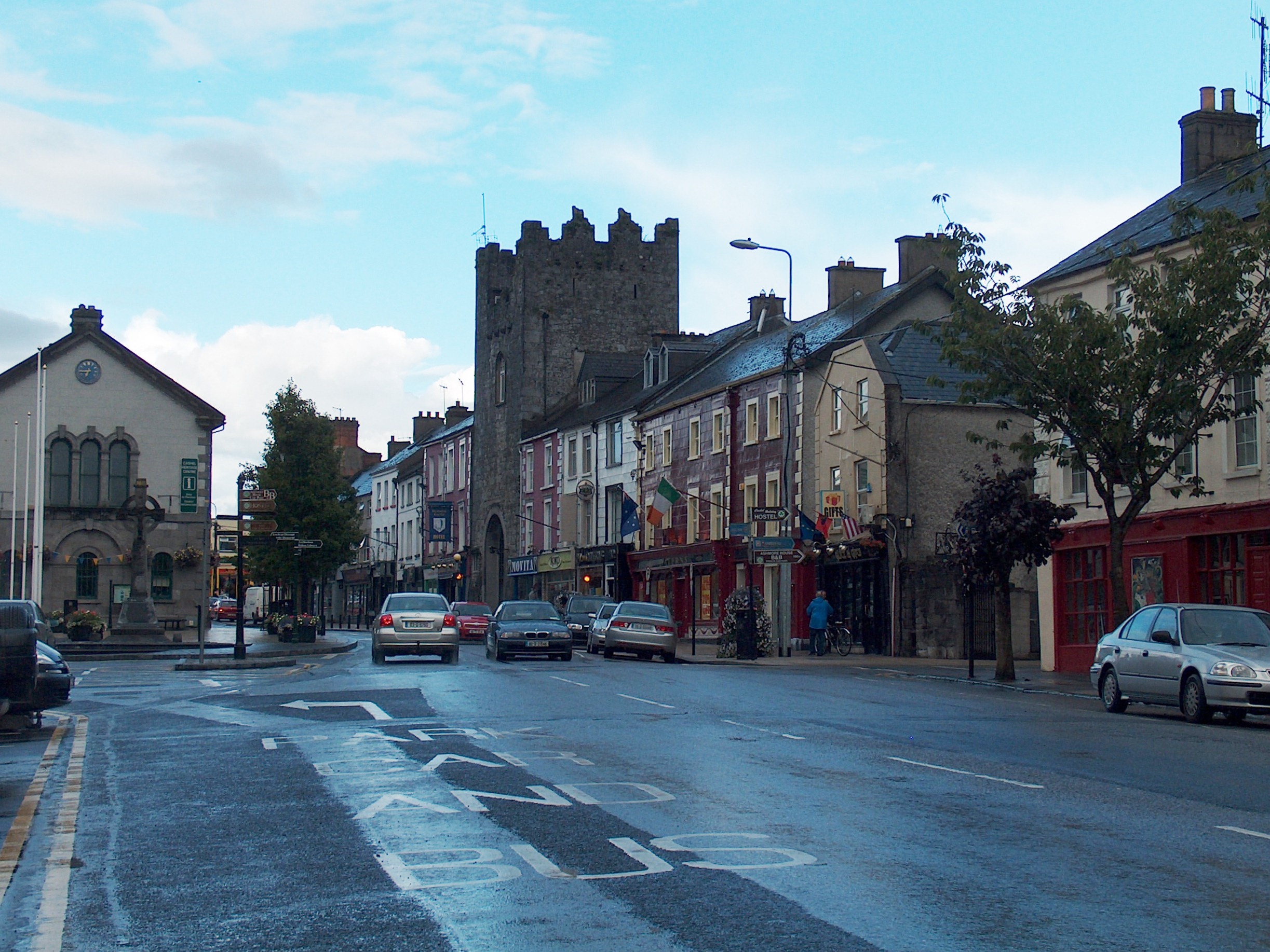 Mick Delahunty SquareMemorial · 2.3 mi
 Main GuardHeritage attraction · 2.5 mi
Other information
Photo: Credit not shown in the picture search · Rights wording not checked; contact us if this picture should be removed