
What is recorded here
According to Lyons (1934, 261) 'There is the site of a castle on a knoll close to the west bank of the R. Anner, 300 yards North of Redmonstown House. The castle stood in the N. E. angle of a bailey of about an acre in extent, and the site is marked by two parallel banks of rubblish, 25 feet long [7.6m], and 15 feet [4.5m] apart. This castle may have belonged to a Le Poer family'. Redmonstown House has been levelled and a relatively modern bungalow has been built on the location. According to local information, the previous owners had levelled all the land around the house. The land N of the house undulates gently, sloping gradually in a SE direction towards the river. There is no evidence of a knoll in the vicinity of 300m from the former house, nor of a bailey. A stone wall runs SE-NW to the river bank in this area and there is no trace of a knoll on either side of this wall. There is no obvious cut stone in the stone wall which is of roughly coursed limestone. The location indicated here should only be considered as indicative of the general area described by Lyons.
Compiled by: Jean Farrelly
Date of revised upload: 5 January 2015
This remains an important historical record, but the official description says the monument is no longer visible or has been destroyed. The monument record does not grant public access. Check the route and ask the landowner before entering private land.
- What survives
- No visible remains or recorded as destroyed
Places near here
 Common LimeCommon Lime · 684 yd
 Enclosure in Ballinvoher,ballyvaughan (kilgrant Par.)Enclosure · 727 yd
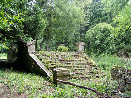 Newtownanner Housegarden temple · 727 yd
 BaldcypressBaldcypress · 745 yd
 Enclosure in Ballyvaughan (kilgrant Par.)Enclosure · 1321 yd
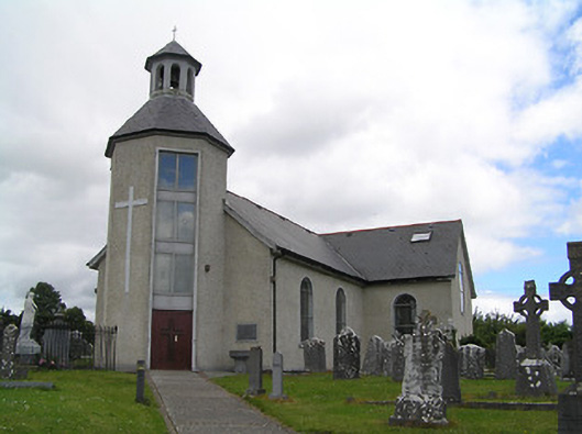 Catholic Church of Saint John the Baptistchurch/chapel · 1503 yd
 Bawn in PowerstownBawn · 1707 yd
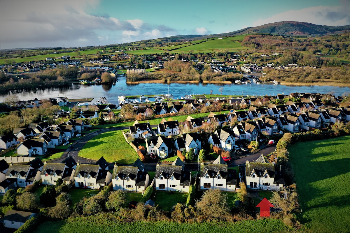 Ballina HouseCastle, unclassified · 1.1 mi
 RetrospectMemorial · 2.7 mi
 Charles BianconiMemorial · 2.9 mi
 Main GuardHeritage attraction · 2.9 mi
 Merchant's HouseVisitor information · 3.0 mi
Other information
Photo: Credit not shown in the picture search · Rights wording not checked; contact us if this picture should be removed