
What is recorded here
On the crest of a flat-topped, gently undulating, roughly E-W running ridge, in pasture. The monument is depicted as a roughly circular enclosure on the 1st (1840) and 2nd (1906) ed. OS 6-inch map (diam. c. 58m). On the 2nd (1904) ed. a fosse is clearly depicted enclosing the N half of the monument. The field boundary which ran E-W from the E quadrant has been removed, as has the enclosure itself. There is no visible trace of the enclosure at ground level. A house with separate garage was built c. 40-50m S of the enclosure in the late 1990s. According to local information this enclosure was levelled in the 1970s/80s.
Compiled by: Jean Farrelly
Date of revised upload: 5 January 2015
This remains an important historical record, but the official description says the monument is no longer visible or has been destroyed. The monument record does not grant public access. Check the route and ask the landowner before entering private land.
- What survives
- No visible remains or recorded as destroyed
Places near here
 CastleCastle, unclassified · 727 yd
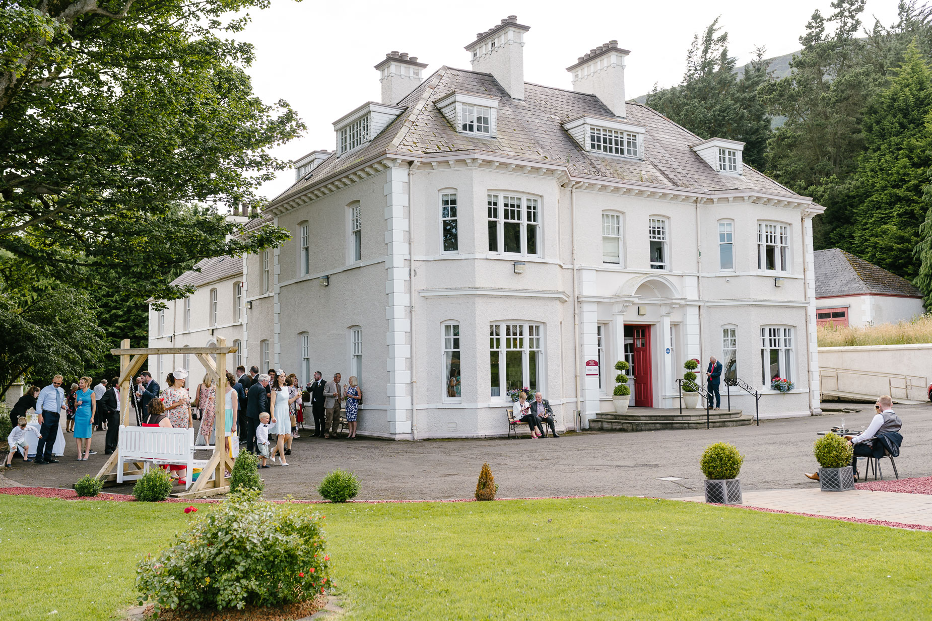 Enclosure in Kilmore (lisronagh Par.)Enclosure · 1067 yd
 Common LimeCommon Lime · 1316 yd
 BaldcypressBaldcypress · 1406 yd
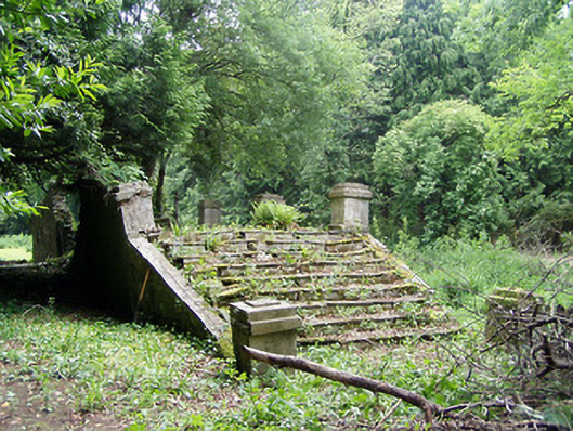 Newtownanner Housegarden temple · 1418 yd
 Enclosure in Ballyvaughan (kilgrant Par.)Enclosure · 1478 yd
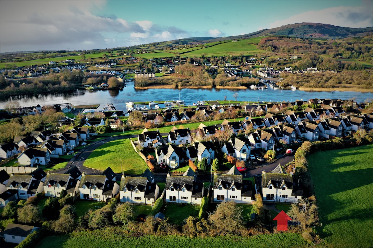 Ballina HouseCastle, unclassified · 1545 yd
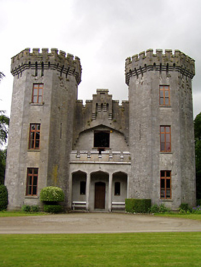 Anner Castlecountry house · 1561 yd
 RetrospectMemorial · 3.0 mi
 Charles BianconiMemorial · 3.2 mi
 Main GuardHeritage attraction · 3.2 mi
 Merchant's HouseVisitor information · 3.4 mi
Other information
Photo: Credit not shown in the picture search · Rights wording not checked; contact us if this picture should be removed