
What is recorded here
On limestone outcrop projecting out from an E-W running ridge. Stoney ground N, S and W of enclosure has been recently planted with conifers. Quarry 30-40m to S. Roughly oval area (25-inch map depicts an inner enclosure dims. c. 33m N-S; c. 50m E-W, surrounded by a berm c. 6-10m wide defined by scarp SW-N and a bank in the NE and S-SW) utilising existing limestone outcrop with a lot of loose stones on N slope. The enclosure is heavily overgrown with trees and scrub. The interior slopes steadily to S. On the N side there is a sheer drop (H 7.54m) to a berm (Wth 2.8-6m), with a further drop to ground level (H c. 6m). The enclosure is less steep on the S side which is defined by scarp, though this is heavily obscured by vegetation. There is no enclosing element in the E quadrant which runs onto the natural ridge. The field SE of the enclosure is under grass. According to Power (1907, 297) 'the "Dun" here is an artificial "fort" or lios which crowns the summit of a small limestone bluff'. It appears that the natural hill was modified when constructing this monument.
Compiled by: Jean Farrelly
Date of revised upload: 5 January 2015
The monument record does not grant public access. Check the route and ask the landowner before entering private land.
- What survives
- Recorded monument
Places near here
 Enclosure in PowerstownEnclosure · 1006 yd
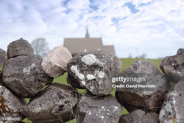 Enclosure in Ballyvaughan (kilgrant Par.)Enclosure · 1047 yd
 Bawn in PowerstownBawn · 1112 yd
 CastleCastle, unclassified · 1600 yd
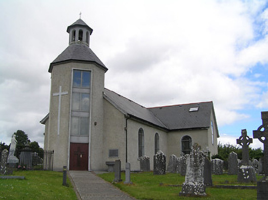 Catholic Church of Saint John the Baptistchurch/chapel · 1756 yd
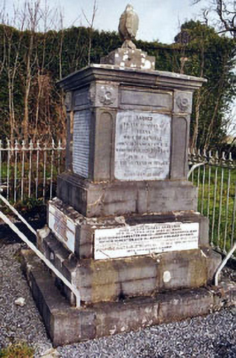 Rathronan Churchmonument · 1.0 mi
 The WoodsForest · 1.2 mi
 BaldcypressBaldcypress · 1.6 mi
 Tipperary Museum of Hidden HistoryMuseum · 2.1 mi
 Vincent HanleyMemorial · 2.1 mi
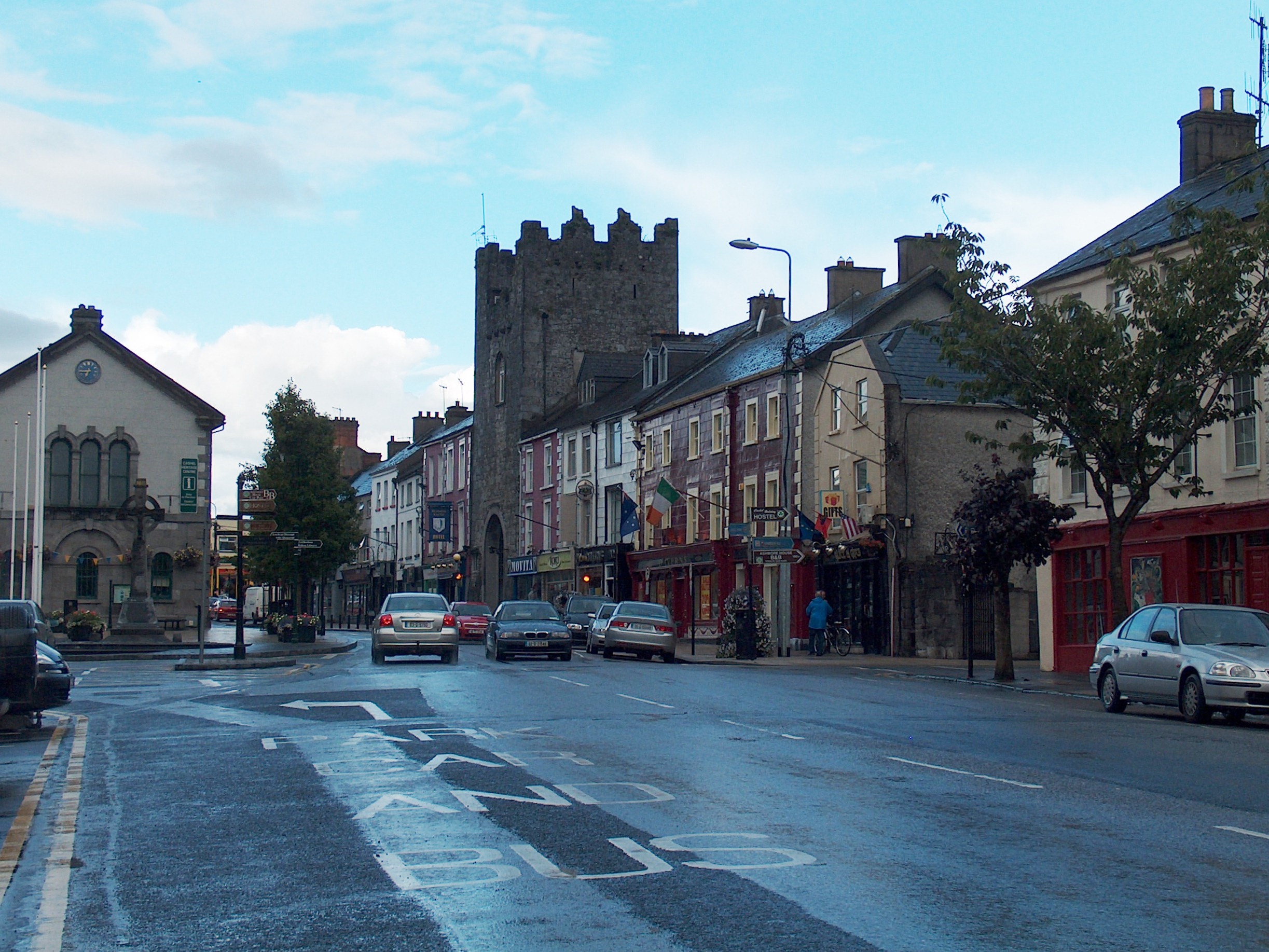 Mick Delahunty SquareMemorial · 2.1 mi
 Main GuardHeritage attraction · 2.3 mi
Other information
Photo: Credit not shown in the picture search · Rights wording not checked; contact us if this picture should be removed