
What is recorded here
On a gradual S-facing slope. Monument depicted on the 1st (1840) ed. OS 6-inch map as a small squarish enclosure with rounded corners (dims. c. 32m NW-SE; c. 28m NE-SW) and on the 2nd (1906) ed. (diam. c. 44m) there is a quarry where the monument was located. There is no visible trace of the monument at ground level and it is likely to have been serverely damaged, if not completely destroyed by the quarrying activity. The quarry was subsequently filled in and in the early 1970s a house was built at this location.
Compiled by: Jean Farrelly
Date of revised upload: 5 January 2015
This remains an important historical record, but the official description says the monument is no longer visible or has been destroyed. The monument record does not grant public access. Check the route and ask the landowner before entering private land.
- What survives
- No visible remains or recorded as destroyed
Places near here
 The Bell TreeRitual site, holy tree/bush · 487 yd
 RathronanCastle, ringwork · 544 yd
 CastleCastle, unclassified · 545 yd
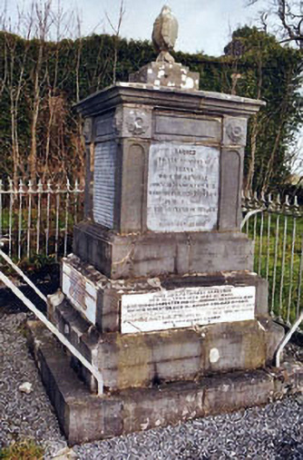 Rathronan Churchmonument · 721 yd
 Enclosure in Ardgeeha UpperEnclosure · 1468 yd
 The WoodsForest · 1739 yd
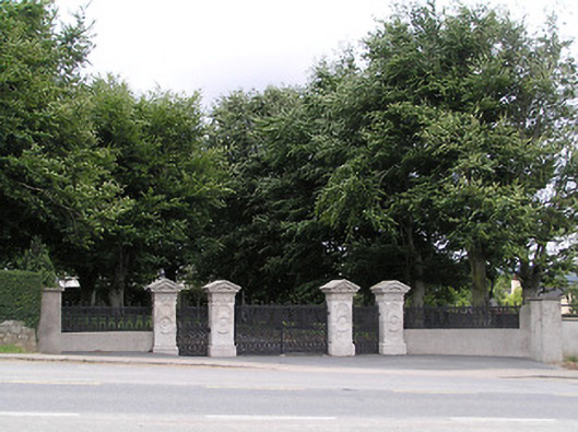 Ardgeeha Housegates/railings/walls · 1.1 mi
 Vincent HanleyMemorial · 1.7 mi
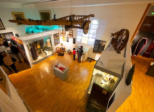 Tipperary Museum of Hidden HistoryMuseum · 1.7 mi
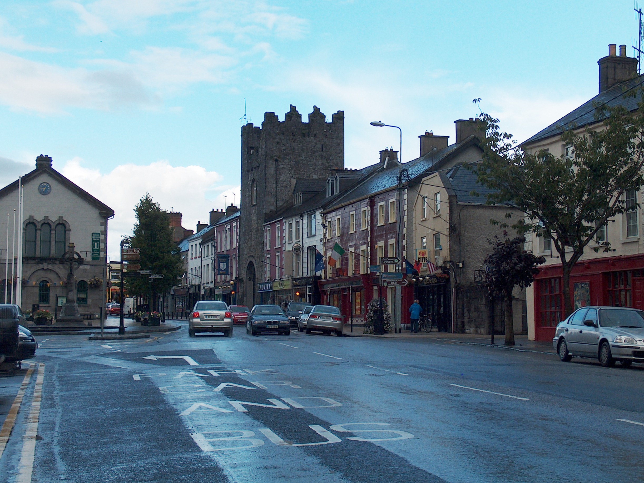 Mick Delahunty SquareMemorial · 1.7 mi
 Main GuardHeritage attraction · 1.9 mi
 Siege of Clonmelsiege · 1.9 mi
Other information
Photo: Credit not shown in the picture search · Rights wording not checked; contact us if this picture should be removed