
What is recorded here
Just off crest of flat-topped hill on S-facing slope in undulating pasture. Monument identifed on aerial photograph taken in 1970 (CUCAP BDR 64) which shows two roughly circular concentric cropmarks (diam. c. 30m), indicating the former fosses of a bivallate enclosure. Enclosure partially visible as a rise in the field which falls away towards the W field boundary, otherwise not visible at ground level. Landowner not aware of any tradition of a 'fort' in this field.
Compiled by: Jean Farrelly
Date of upload: 26 August 2011
The monument record does not grant public access. Check the route and ask the landowner before entering private land.
- What survives
- Recorded monument
Places near here
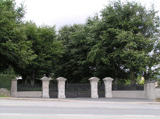 Ardgeeha Housegates/railings/walls · 672 yd
 LIT Anchor MonumentMonument · 903 yd
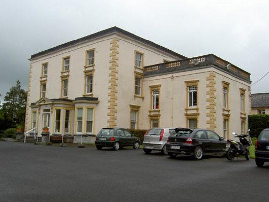 Melview Househouse · 1446 yd
 Enclosure in RathronanEnclosure · 1468 yd
 The WoodsForest · 1666 yd
 RathronanCastle, ringwork · 1.0 mi
 CastleCastle, unclassified · 1.1 mi
 Vincent HanleyMemorial · 1.1 mi
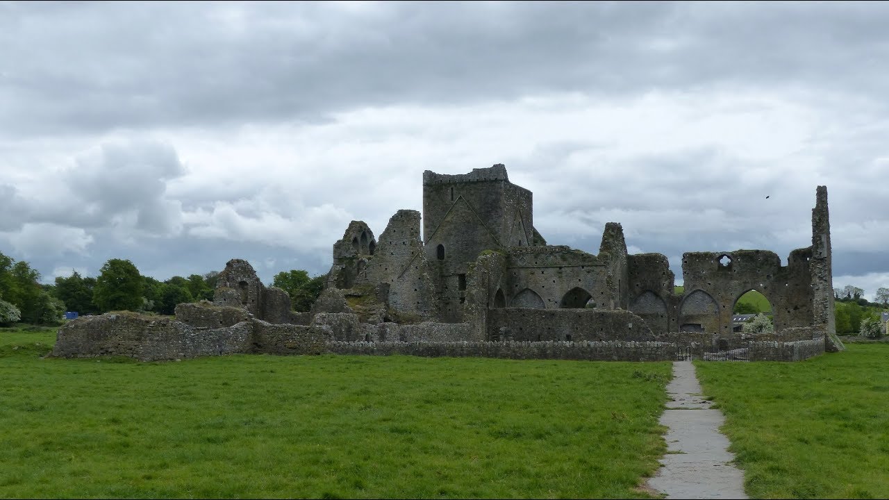 Gairdín Gharraí na LeadhbMemorial · 1.1 mi
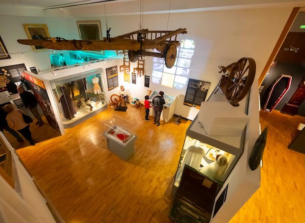 Tipperary Museum of Hidden HistoryMuseum · 1.2 mi
 Siege of Clonmelsiege · 1.2 mi
 Main GuardHeritage attraction · 1.3 mi
Other information
Photo: Credit not shown in the picture search · Rights wording not checked; contact us if this picture should be removed