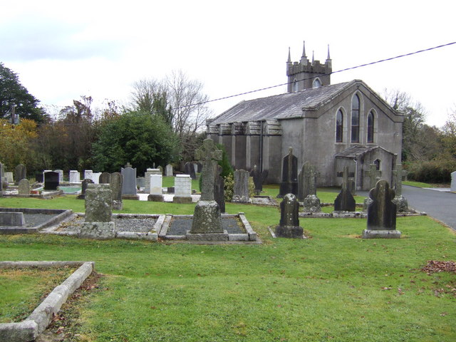
What is recorded here
Marked as a subcircular bivallate enclosure (ext. dims. c. 90m E-W; c. 80m N-S) called ‘Rathnacrue’ on the 1839 ed. of the OS 6-inch map and as a trivallate enclosure (ext. dims. c. 100m N-S; c. 90m E-W) on the 1925 ed. but the central and outer banks are missing N-SE on this map. It was described in the 1940s as a subcircular area (dims. 50m E-W; c. 45m N-S) surrounded by three banks and intervening fosses (SMR file). It has been removed since then but traces of two fosses (Wth 1-2m; D 0.1-0.2m) c. 5m apart were still evident in 1987 around a grass-covered area (int. diam. 61m NE-SW; 59m NW-SE). It is visible as a cropmark of a bivallate enclosure on aerial photographs (ASIAP (271) 18-21) and digital aerial photographs (WX024-049_1 to_9) taken in 2006. The cropmark is also visible on the OSI series of aerial photographs (2000, 2005).
The above description is derived from the published 'Archaeological Inventory of County Wexford' (Dublin: Stationery Office, 1996). In certain instances the entries have been revised and updated in the light of recent research.
Compiled by: Michael Moore
Date of upload/revision: 25 June, 2012
Rathnacrue, Clonleigh is a subcircular to oval multivallate ringfort, likely dating to the early medieval period, as indicated by its typical bivallate or trivallate earthwork structure. Local tradition may associate it with fairy lore, as suggested by its name, which includes the element *rath* (fort) and may imply a site of supernatural or historical significance.
This remains an important historical record, but the official description says the monument is no longer visible or has been destroyed. The monument record does not grant public access. Check the route and ask the landowner before entering private land.
- What survives
- No visible remains or recorded as destroyed
Places near here
 Site of RathFairy fort / ringfort · 809 yd
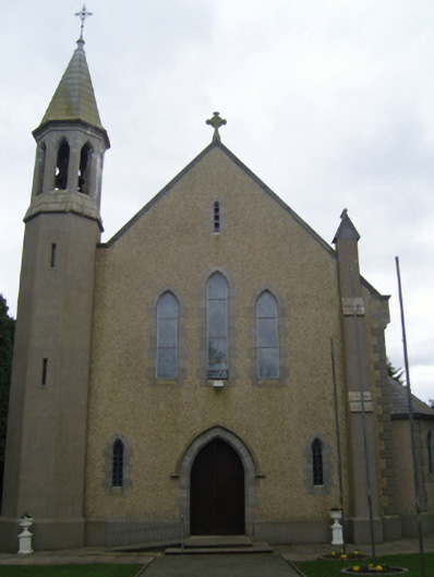 Catholic Church of Christ the Kingchurch/chapel · 889 yd
 St Pauls WellHoly well · 1105 yd
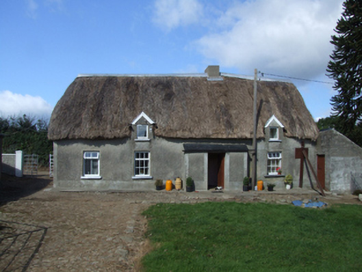 farm housefarm house · 1289 yd
 1798 RebellionMemorial · 2.5 mi
 Site of Warrens CastleCastle, unclassified · 2.7 mi
 Carrickmastia HillMountain / peak · 3.2 mi
 Castle (Site of)Castle, unclassified · 3.4 mi
 CarrigvahanaghMountain / peak · 3.5 mi
 Silver WattleSilver Wattle · 4.5 mi
 Forest Of The DunbrodyForest · 4.7 mi
 Glenour MonumentMemorial · 5.1 mi
Other information
Photo: Credit not shown in the picture search · Rights wording not checked; contact us if this picture should be removed