What is recorded here
On a gentle SW-facing slope of rising ground in upland region overlooking the Gortnageragh river valley from S to W. Directly N of the ring-cairn there is an outlying low orthostat (TS045-001002-). Monument consists of a low circular rise (diam. 18m SW-NE; 19.5m NW-SE; H 0.3) of loosely piled stones or low orthostats (avg. dims. 1m x 0.5m) which in places consists of double rows of orthostats defining the perimeter of the monument which may represent internal and external kerbing containing cairn material, indicative of a poorly preserved ring-cairn. The interior is fairly open with several low mounds of loosely piled stones. In the OS Namebook (1840) the ring-cairn is described as a fort which 'has a sepulchral chamber inside it' (O'Donovan et. al.) while its local name Rathnacloghal fort is translated as the fort of the white stones.
Compiled by: Jean Farrelly
Date of upload: 26 August 2011
The monument record does not grant public access. Check the route and ask the landowner before entering private land.
- What survives
- Recorded monument
Places near here
 TooreenMountain / peak · 1299 yd
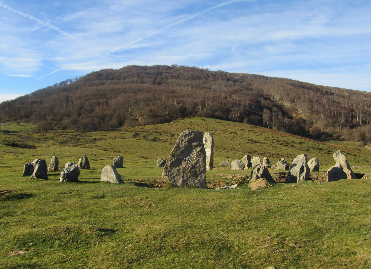 Cromlech (Site of)Megalithic structure · 1.6 mi
 Partially indicatedEnclosure · 1.7 mi
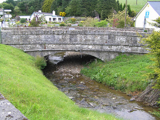 Hollyford Bridgebridge · 2.0 mi
 Anglesey Bridgebridge · 2.1 mi
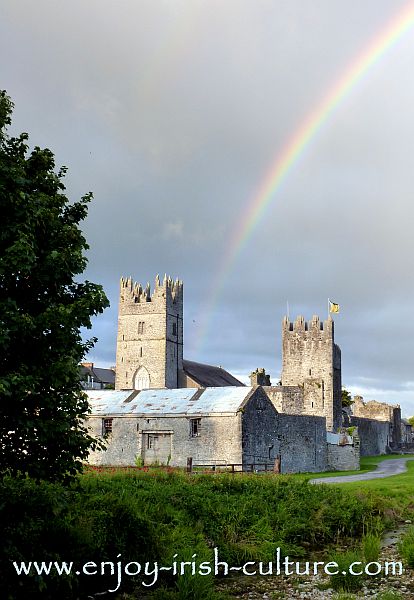 FalleennafinogaMountain / peak · 2.9 mi
 Site of CastleCastle, unclassified · 4.5 mi
 Shanaclogh CastleCastle, unclassified · 4.8 mi
 ToberagaddySpring · 9.7 mi
 Hut site in CurraghmarkyHut site · 1.7 mi
 Enclosure in CurraghmarkyEnclosure · 1.9 mi
 Enclosure in Kilcommon (templebeg Par.)Enclosure · 2.0 mi