What is recorded here
In improved pasture, on high point of a hillock. Excellent views in all directions. Oval area (dims. 46m N-S; 36m E-W) defined by a steep and well-preserved bank (Wth 6.25-12.15m; int. H 0.55-1.75m; ext. H 1.35-4.05) which is reduced to a scarp (Wth 5.75m; H 3.85m) SW-W, an outer fosse (basal Wth 1.35m; overall Wth 9.75m; D 1.55m) defines the exterior ESE-S-SW and a steep, natural scarp (Wth 5m; H 2.8m), riddled with several badger sets, defines from SW-NW. An outer bank (Wth 5.4m; int. H 1.55m; ext. H 1.85m) is incorporated into a field boundary from ESE-S-SW. Two potential entrance gaps (Wth 3.8m and Wth 3.5m) in the inner bank at ENE and SE respectively, with narrow cattle gaps (Wth 1.8m amd 2.5m) at NNE and NNW respectively. Interior has a curvilinear depression (Wth 3.5m; D 0.25m) around its perimeter SE-W-NNW, filled with dead nettles and a large clump of briars off centre to NE cover a large boulder within. Surrounding fields improved and no surface evidence of features depicted by hachures to S, WSW and NE on 1906 edition OS 6-inch map. Enclosure (TS066-109----) is c. 60m to W and enclosure (TS066-108----) is c. 120m to WNW.
Compiled by: Jean Farrelly
Date of upload: 26 August 2011
The monument record does not grant public access. Check the route and ask the landowner before entering private land.
- What survives
- Recorded monument
Places near here
 MoatCastle, motte · 1103 yd
 Site of Bruis ChurchChurch · 1160 yd
 Mount Bruishouse · 1232 yd
 CastleCastle, ringwork · 1495 yd
 Enclosure in Ballynagleragh,toor (bruis Par.)Enclosure · 1522 yd
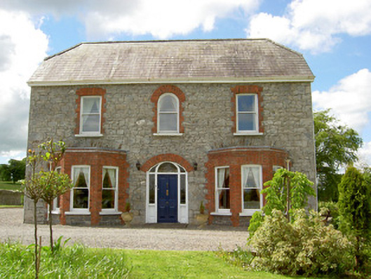 Saint Joseph'shouse · 1.0 mi
 SlievenamuckMountain / peak · 1.6 mi
 Bansha ForestForest · 2.4 mi
 Knockanebrack HillMountain / peak · 3.7 mi
 Glen of AherlowViewpoint · 3.7 mi
 Christ the KingViewpoint · 3.8 mi
 Carn (site of)Cairn, burial cairn · 3.9 mi