
What is recorded here
Single-arch road bridge spanning tidal stream, built c.1840. Rubble limestone construction with round-headed arch and cut block voussoirs. Blocked segmental-arch above. Rubble stone buttresses, parapet and piers. Name plaque to interior of parapet (west).
This structure is an excellent example of the high level of craftsmanship executed in the construction of rural bridges during the nineteenth century. It stands as testament to the early efforts to improve road links in this area.
From the Buildings of Ireland (National Inventory of Architectural Heritage) record 20915013
This does not grant access. Most recorded buildings are privately owned; view them only from public ground unless the owner allows entry.
Places near here
Bawn in BallylinchyBawn · 467 ydBurial ground in Rathmore (carbery West (e.d) By.)Burial ground · 617 ydReenmore IslandIslet · 1230 yd Glebe HouseRectory/glebe/vicarage/curate's house · 1266 ydpost box1399 ydRingarogy IslandIsland · 1.2 miDún na Station castleCastle · 1.2 miKnockomaghMountain / peak · 1.9 miThe BeaconBeacon · 2.1 miBeacon PointViewpoint · 2.1 miBaltimore BeaconNavigational beacon · 2.1 miShour WellHoly well · 2.2 mi
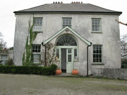 Glebe HouseRectory/glebe/vicarage/curate's house · 1266 yd
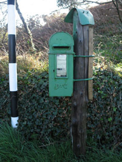 post box1399 ydRingarogy IslandIsland · 1.2 mi
 Dún na Station castleCastle · 1.2 mi
 KnockomaghMountain / peak · 1.9 mi
 The BeaconBeacon · 2.1 mi
 Beacon PointViewpoint · 2.1 mi
 Baltimore BeaconNavigational beacon · 2.1 mi
 Shour WellHoly well · 2.2 mi
Pictures: National Inventory of Architectural Heritage; Andrew Wood, Wikimedia Commons · CC BY-SA 2.0; Mick Garratt, Geograph · CC BY-SA 2.0; nick macneill, Geograph · CC BY-SA 2.0; Theorlafitz, Wikimedia Commons · CC BY-SA 4.0; Ben Rudiak-Gould, Wikimedia Commons · Public domain; Mac McCarron, Geograph · Creative Commons Attribution-ShareAlike 2.0
More historic places in County Cork · All of County Cork
What do you know about this place?