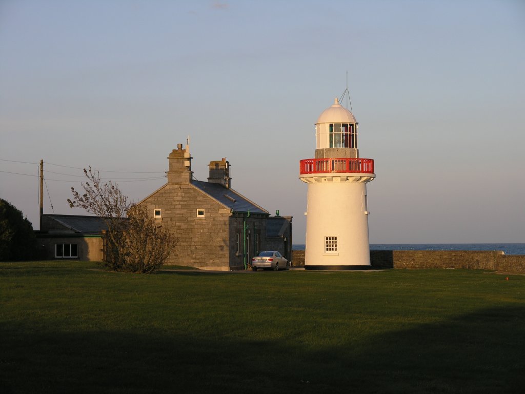
What is recorded here
On a gentle rise in undulating pastureland. Very well-preserved circular rath (diam. 57.5m) defined by two banks and an intervening fosse. There is a causewayed gap at ENE. (Holt 1912, 232; Westropp 1919, 171-2; McCaffrey 1952, 181, no. 10)
Compiled by: Galway Archaeological Survey, UCG
Date of upload: 5 January 2017
Rathknock, Ballynacourty is a well-preserved circular ringfort, likely dating to the early medieval period, characterized by two banks and an intervening fosse with a causewayed entrance at the ENE. Local tradition associates such sites with fairy folk, and they were often avoided due to beliefs in supernatural inhabitants.
The monument record does not grant public access. Check the route and ask the landowner before entering private land.
- What survives
- Recorded monument
Places near here
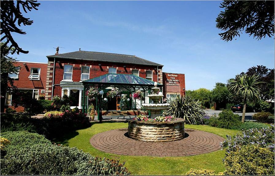 ParkmoreFairy fort / earthen ringfort · 435 yd
 Mary Kate'shouse · 632 yd
 Megalithic structure in BallynacourtyMegalithic structure · 646 yd
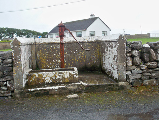 water pumpwater pump · 663 yd
 Ballynacourty Court (in ruins)Castle, hall-house · 955 yd
 CastleCastle, unclassified · 994 yd
 MweenisharanIslet · 1.3 mi
 Plumbtree FortArchaeological place · 1.3 mi
 Mweenish PointHeadland · 1.5 mi
 Mweenish IslandIslet · 1.8 mi
 South WoodWood · 2.2 mi
 Drumacoo Monastic SiteHeritage attraction · 2.2 mi
Other information
Photo: Credit not shown in the picture search · Rights wording not checked; contact us if this picture should be removed