What is recorded here
Standing stone in Ballynacourty is a limestone slab in undulating County Galway pastureland. It rises 2.3 metres, stretches 1.4 metres across, and aligns northwest to southeast. Its base measures 0.58 metre thick, but the southwest face narrows to 0.35 metre at 0.6 metre height where a natural ledge appears. The stone may have marked a boundary, a burial, a gathering place or a warning. People may have touched its ledge, tied a ribbon to it, or avoided it after dark.
In undulating pastureland. This standing stone consists of a limestone slab (H 2.3m; Wth 1.4m), rectangular in plan and aligned NW-SE. The base of the stone is 0.58m thick but on the SW face, at a height of 0.6m from ground level, it narrows to 0.35m where a natural ledge formation occurs. (McCaffrey 1952, 180, no. 8)
Compiled by: Galway Archaeological Survey, UCG
Date of upload: 16 December 2019
Likely dating to the Neolithic or Bronze Age, this standing stone may have functioned as a boundary marker, ceremonial monument, or astronomical alignment feature. No specific folklore or detailed local tradition is recorded for this site.
The monument record does not grant public access. Check the route and ask the landowner before entering private land.
- What survives
- Recorded monument
Places near here
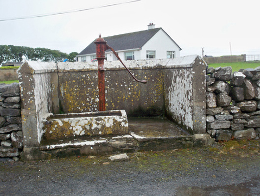 water pumpwater pump · 174 yd
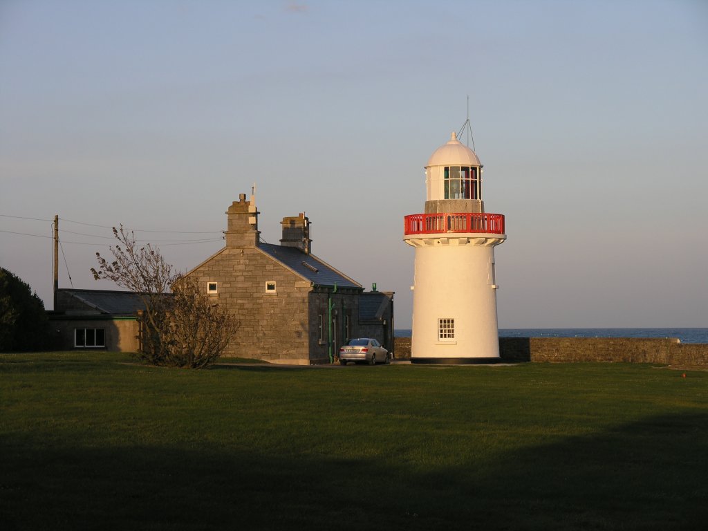 RathknockFairy fort / earthen ringfort · 587 yd
 Fulacht fia in BallynacourtyFulacht fia · 606 yd
 Mary Kate'shouse · 687 yd
 Ballynacourty Court (in ruins)Castle, hall-house · 1308 yd
 CastleCastle, unclassified · 1339 yd
 MweenisharanIslet · 1.2 mi
 Mweenish PointHeadland · 1.6 mi
 Plumbtree FortArchaeological place · 1.7 mi
 Drumacoo Monastic SiteHeritage attraction · 1.9 mi
 Mweenish IslandIslet · 2.1 mi
 Ardfry PointHeadland · 3.1 mi