
What is recorded here
Some 175m to the W of another fulacht fiadh (GA103-035----), close to the N bank of a small stream in a broad shallow valley, which opens out to the sea a short distance to the SW. This fulacht fia consists of a roughly horseshoe-shaped grassy mound (13m N-S; c. 12m E-W; H c. 1.1m) opening towards the E. It is well defined from S to W; elsewhere its limits are marked by a change of vegatation. The position of the trough area is marked by nettle growth. There is another fulacht fia (GA103-037003-) c. 2.5m to the S.
Compiled by: Galway Archaeological Survey, UCG
Date of upload: 15 November 2019
The monument record does not grant public access. Check the route and ask the landowner before entering private land.
- What survives
- Recorded monument
Places near here
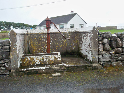 water pumpwater pump · 553 yd
 LisdooFairy fort / earthen ringfort · 631 yd
 Fulacht fia in Ballynamanagh WestFulacht fia · 1073 yd
 Mary Kate'shouse · 1084 yd
 Ballynacourty Court (in ruins)Castle, hall-house · 1.0 mi
 CastleCastle, unclassified · 1.1 mi
 MweenisharanIslet · 1.1 mi
 Drumacoo Monastic SiteHeritage attraction · 1.5 mi
 Mweenish PointHeadland · 1.8 mi
 Plumbtree FortArchaeological place · 2.0 mi
 Fiddaun IslandIslet · 2.3 mi
 South WoodWood · 2.7 mi
Other information
Photo: Credit not shown in the picture search · Rights wording not checked; contact us if this picture should be removed