
What is recorded here
In low-lying pastureland prone to flooding, c. 20m to the N of a spring. This low grassed-over mound (c. 10m ENE-WSW; c. 6.5m NNW-SSE; H 0.6m) is roughly oval in plan. A similar mound (GA103-043001-) lies c. 45m to the SSE.
Compiled by: Galway Archaeological Survey, UCG
Date of upload: 26 July 2017
The monument record does not grant public access. Check the route and ask the landowner before entering private land.
- What survives
- Recorded monument
Places near here
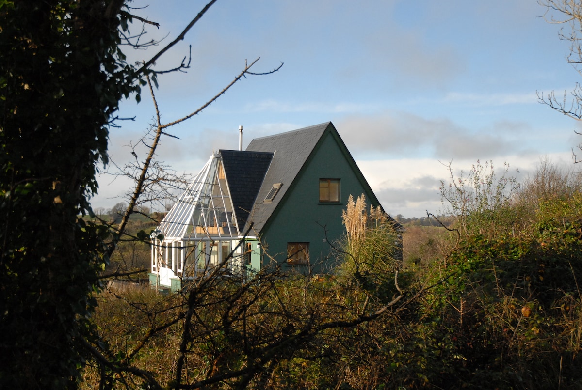 MiddlethirdFairy fort / earthen ringfort · 492 yd
 LisdooFairy fort / earthen ringfort · 498 yd
 CastleCastle, unclassified · 925 yd
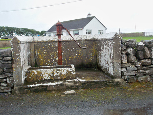 water pumpwater pump · 936 yd
 Mary Kate'shouse · 1382 yd
 Ballynacourty Court (in ruins)Castle, hall-house · 1.1 mi
 MweenisharanIslet · 1.6 mi
 Plumbtree FortArchaeological place · 1.6 mi
 Mweenish PointHeadland · 2.0 mi
 Drumacoo Monastic SiteHeritage attraction · 2.1 mi
 South WoodWood · 2.1 mi
 Goose IslandIslet · 2.7 mi
Other information
Photo: Credit not shown in the picture search · Rights wording not checked; contact us if this picture should be removed