
What is recorded here
On a gradual NE-facing slope in undulating terrain, under tillage. Though the enclosure has been levelled it is still visible as a raised, roughly circular area (diam. 35m N-S; 34.6m E-W) defined by a gentle scarp (H 0.76m). The monument and surrounding field were planted with corn which had been recently cut at time of visit. The surface of the enclosure is particularly stoney. The enclosure showed up as a cropmark on an aerial photographs (ASIAP (36) 30-33, 3-8-96), which suggests that the monument had an enclosing fosse.
Compiled by: Jean Farrelly
Date of upload: 26 August 2011
The monument record does not grant public access. Check the route and ask the landowner before entering private land.
- What survives
- Recorded monument
Places near here
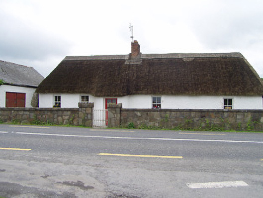 The Thatchhouse · 157 yd
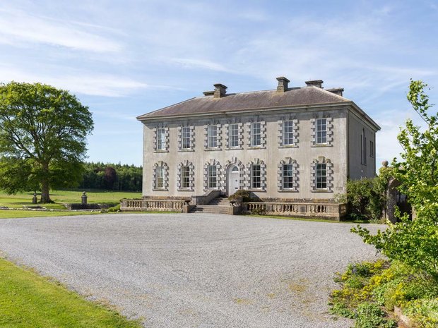 Enclosure in Ballyveelish NorthEnclosure · 772 yd
 Structure in Ballyveelish NorthStructure · 807 yd
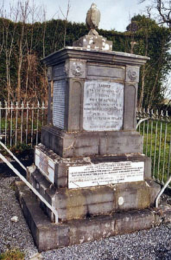 Rathronan Churchmonument · 1.2 mi
 RathronanCastle, ringwork · 1.2 mi
 Pedunculate OakPedunculate Oak · 1.5 mi
 CastleCastle, unclassified · 1.5 mi
 The WoodsForest · 2.3 mi
 Francis HopkinsMemorial · 2.8 mi
 John HackettMemorial · 2.8 mi
 Main GuardHeritage attraction · 2.8 mi
 Merchant's HouseVisitor information · 2.9 mi
Other information
Photo: Credit not shown in the picture search · Rights wording not checked; contact us if this picture should be removed