
What is recorded here
On flat crest of low hill in undulating terrain, under pasture. Pond immediately to N. Circular enclosure (diam. 37m N-S; 36m E-W) defined by a low, wide bank (Wth 2.2m crest, 7.8m base; int. H 0.45m; ext. H 0.52m). Ringfort has been partially levelled. No evidence of break in bank or of an outer fosse. In the N quadrant the bank has been reduced to a scarp (H 1.34m).
Compiled by: Jean Farrelly
Date of upload: 26 August 2011
Rathduff Lower is a circular early-medieval ringfort, likely dating to between the 5th and 10th centuries, characterized by a low, wide bank and located on a hill crest near a pond. Local folklore, though not detailed in records, may associate such sites with fairy legends common in Irish tradition, where ringforts were sometimes believed to be entrances to the Otherworld.
The monument record does not grant public access. Check the route and ask the landowner before entering private land.
- What survives
- Recorded monument
Places near here
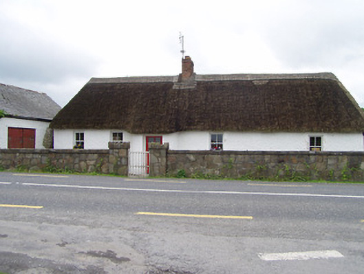 The Thatchhouse · 792 yd
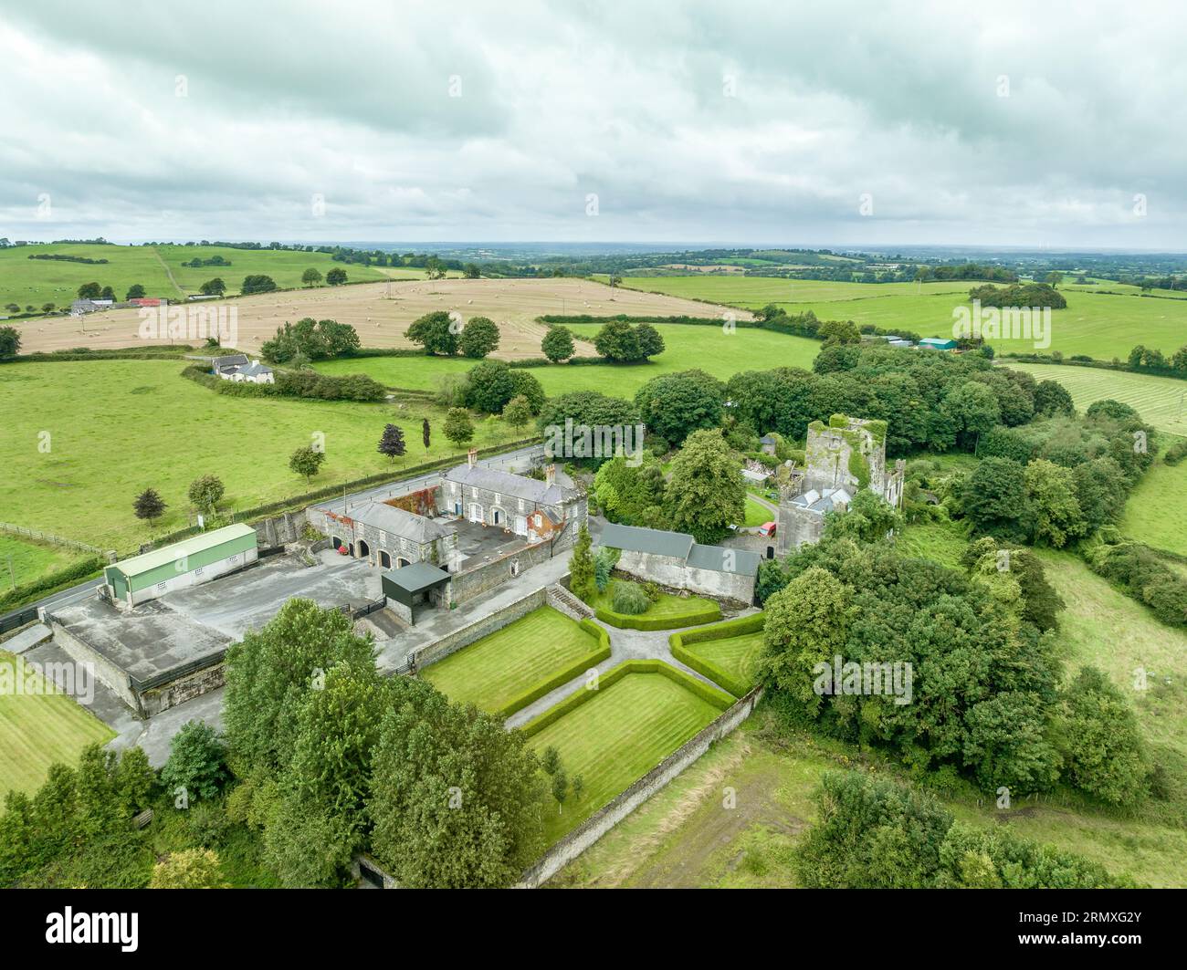 Enclosure in Lawlesstown (kiltegan Par.)Enclosure · 1452 yd
 Structure in Ballyveelish NorthStructure · 1495 yd
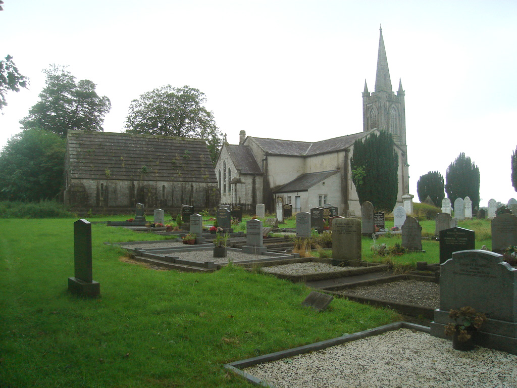 Church (in Ruins)Church · 1523 yd
 RathronanCastle, ringwork · 1756 yd
 The WoodsForest · 1.9 mi
 Pedunculate OakPedunculate Oak · 1.9 mi
 CastleCastle, unclassified · 2.0 mi
 Vincent HanleyMemorial · 2.2 mi
 Tipperary Museum of Hidden HistoryMuseum · 2.2 mi
 Francis HopkinsMemorial · 2.3 mi
 Main GuardHeritage attraction · 2.3 mi
Other information
Photo: Credit not shown in the picture search · Rights wording not checked; contact us if this picture should be removed