
What is recorded here
On poorly drained grassland on a NE-facing slope of rising ground in upland region with good views from N through E to S, higher ground to SW and W. Nearby enclosure (TS054-034----) 130m to S. Ringfort consists of a slightly raised circular area (int. diam. 38m N-S; overall diam. 55m E-W) enclosed by an earthen bank (top Wth 3m; base Wth 6m; int. H 0.6-1m; ext. H 1-2.5m) and wet outer fosse (base Wth 1-2m; top Wth 4m; ext. D 0.5-1m) with possible entrance gap (Wth 5m) at NE. Damage to external faces of bank at N, NE and SW, fosse filled in at SW to W elsewhere it is well preserved. Interior is wet and overgrown at time of visit making detailed examination impossible. Damage to external face of bank flanking either side of entrance and cattle damage to bank at S and SW, otherwise ringfort is well preserved.
Compiled by: Jean Farrelly
Date of upload: 26 August 2011
The monument record does not grant public access. Check the route and ask the landowner before entering private land.
- What survives
- Recorded monument
Places near here
 Enclosure in KnockanattinEnclosure · 134 yd
 Enclosure in Ballincurry (crohane Par.)Enclosure · 607 yd
 Coolquill CastleCastle · 1619 yd
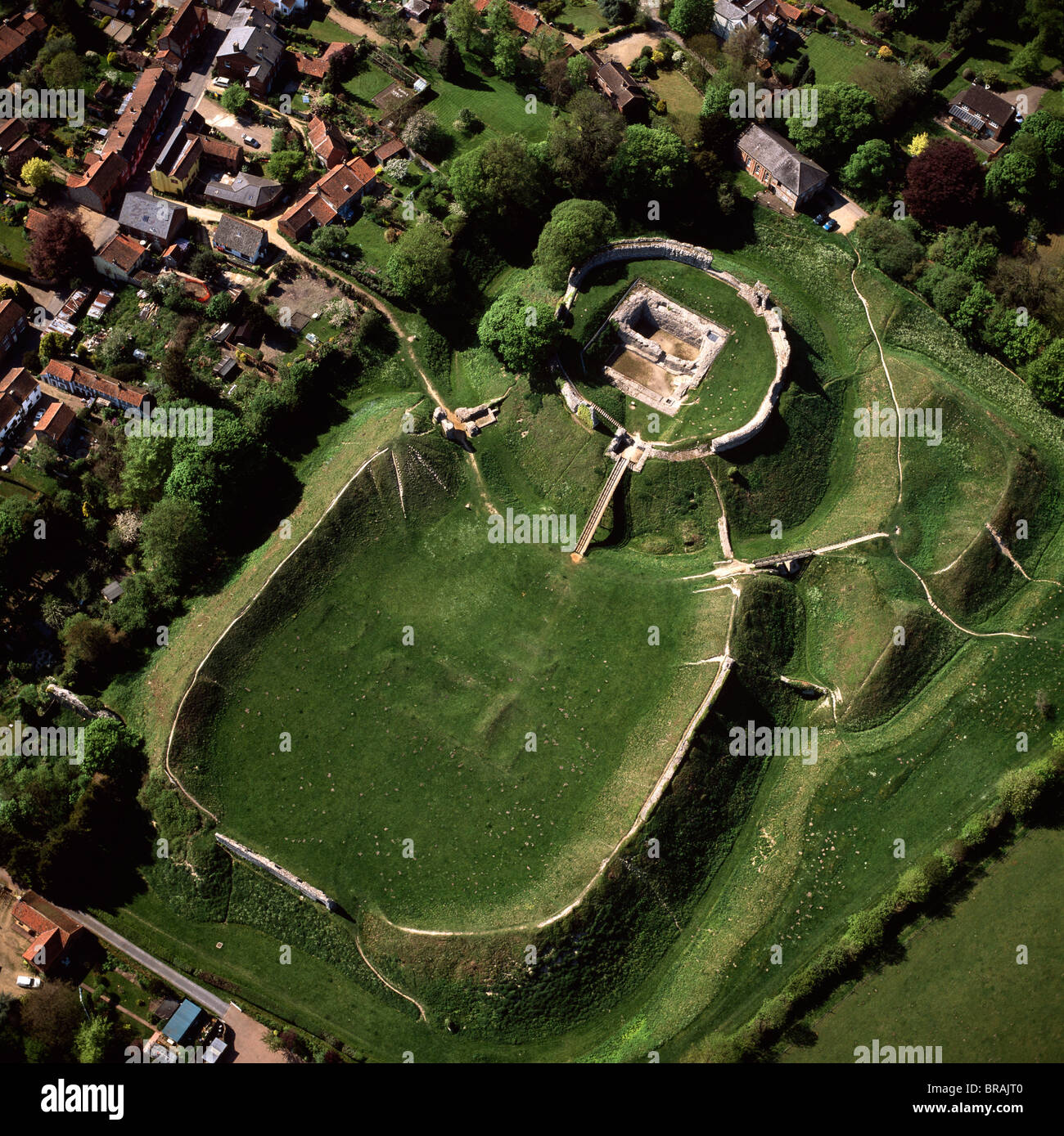 CastleCastle, motte and bailey · 1.0 mi
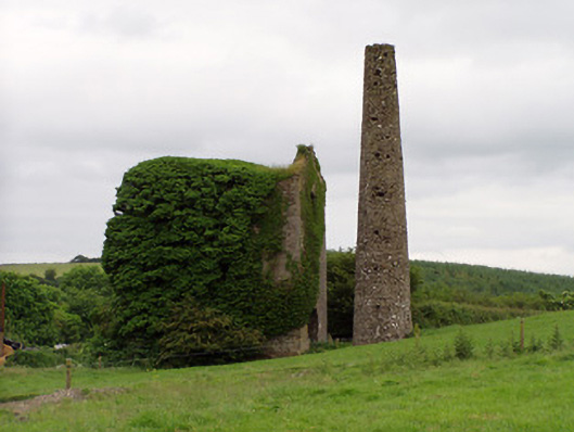 Mardyke Collieryengine house · 1.2 mi
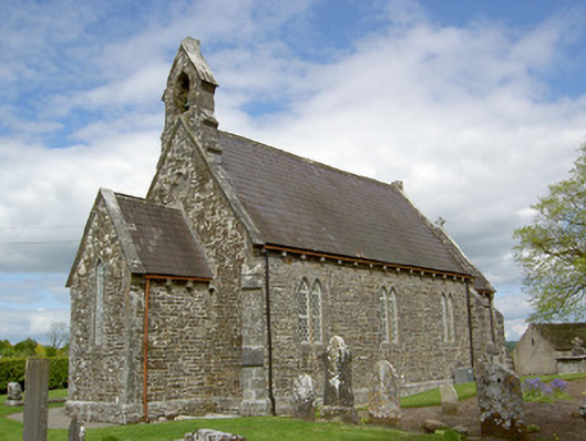 Crohane Churchchurch/chapel · 1.6 mi
 Waterloo HillMountain / peak · 2.1 mi
 Eagle HillMountain / peak · 2.5 mi
 Slieveardagh Heritage CentreVisitor information · 2.5 mi
 Derrynaflan TrailHeritage attraction · 4.3 mi
 Top Field at Carey'sForest · 5.0 mi
 Gobban Saer's GraveArchaeological place · 5.1 mi
Other information
Photo: Credit not shown in the picture search · Rights wording not checked; contact us if this picture should be removed