
What is recorded here
In grassland atop high ground with good views in all directions, nearby ringfort (TS054-033----) 130m to N. Barely visible outline of possible circular enclosure (diam. 22m N-S) in area marked on six inch OS 6-inch map. Circular enclosure identified from aerial photographs (GSI 1974, S. 577/6).
Compiled by: Jean Farrelly
Date of upload: 26 August 2011
The monument record does not grant public access. Check the route and ask the landowner before entering private land.
- What survives
- Recorded monument
Places near here
 RathanaffrinFairy fort / earthen ringfort · 134 yd
 Enclosure in Ballincurry (crohane Par.)Enclosure · 697 yd
 CastleCastle, motte · 1004 yd
 Coolquill CastleCastle · 1514 yd
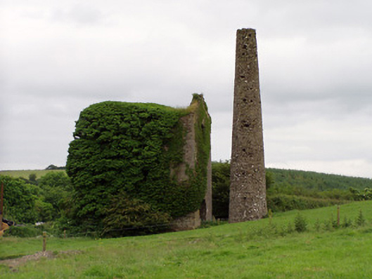 Mardyke Collieryengine house · 1.2 mi
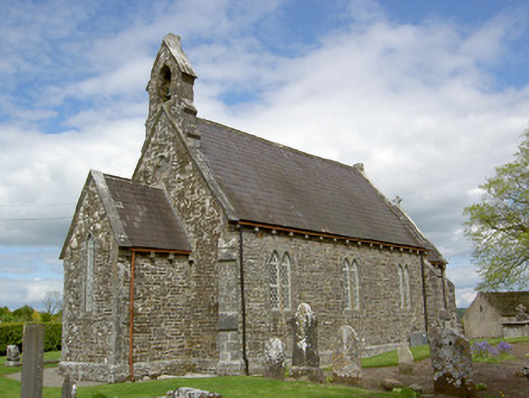 Crohane Churchchurch/chapel · 1.5 mi
 Waterloo HillMountain / peak · 2.1 mi
 Eagle HillMountain / peak · 2.4 mi
 Slieveardagh Heritage CentreVisitor information · 2.5 mi
 Derrynaflan TrailHeritage attraction · 4.3 mi
 Top Field at Carey'sForest · 5.0 mi
 Gobban Saer's GraveArchaeological place · 5.2 mi
Other information
Photo: Credit not shown in the picture search · Rights wording not checked; contact us if this picture should be removed